Transport Functions
Port
Multimodal
Hub Profile
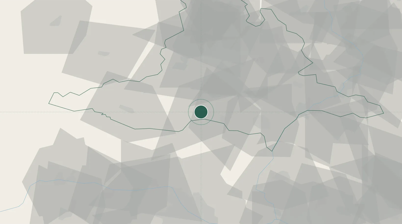
Place type
Populated place
Region
South Moravian
Population
1,676
Time zone
Europe/Prague
Elevation
184 m
Location
Nearby Logistics Neighbours
Cities
- 1Novosedly2 km
- 2Dolní Vestonice12 km
- 3Pouzdrany13 km
- 4Pohorelice13 km
- 5Pohorelice U Brna15 km
Ports
- 1Monfalcone407 km
- 2Trieste412 km
- 3Muggia416 km
- 4Rijeka Luka421 km
- 5Bakar422 km
Airports
- 1Brno-Tuřany Airport36 km
- 2Náměšť Air Base45 km
- 3Malacky/Kuchyňa Air Base67 km
- 4Kunovice Airport72 km
- 5Vienna International Airport82 km
Trade Zones
DatabookThe Record of Consolidated Knowledge
Czechia beyond logistics?