Transport Functions
Multimodal
Hub Profile
Region
JM
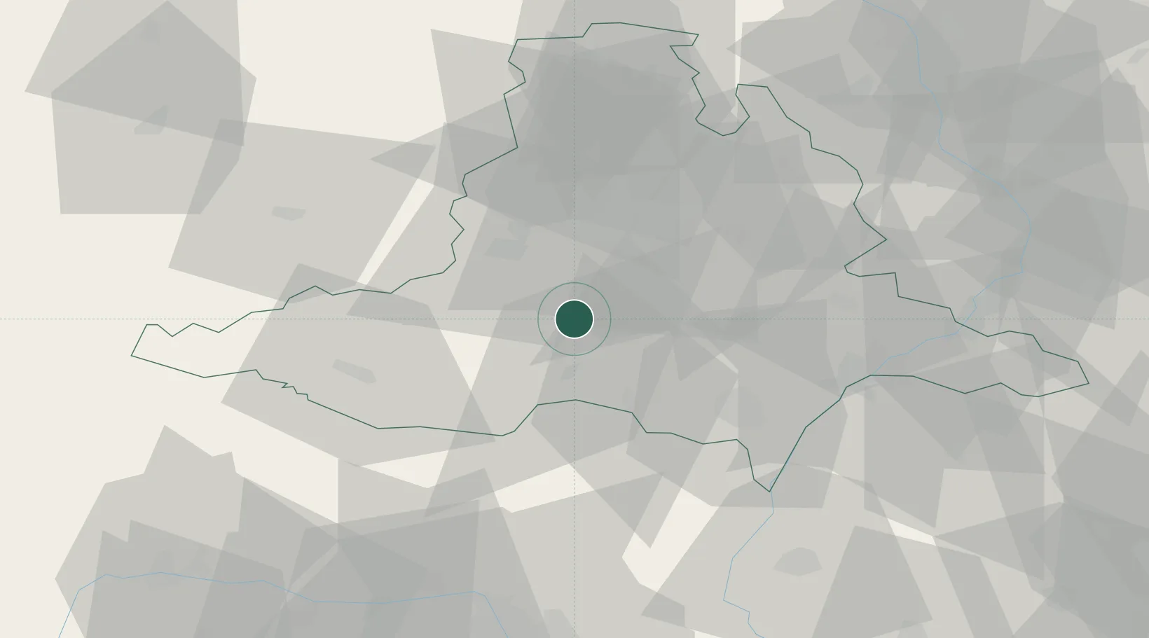
Location
Nearby Logistics Neighbours
Cities
- 1Pohorelice2 km
- 2Babice9 km
- 3Pouzdrany9 km
- 4Dolní Vestonice15 km
- 5Drnholec15 km
Ports
- 1Monfalcone420 km
- 2Trieste425 km
- 3Muggia430 km
- 4Rijeka Luka435 km
- 5Koper436 km
Airports
- 1Brno-Tuřany Airport23 km
- 2Náměšť Air Base35 km
- 3Kunovice Airport68 km
- 4Malacky/Kuchyňa Air Base78 km
- 5Přerov Air Base81 km
Trade Zones
DatabookThe Record of Consolidated Knowledge
Czechia beyond logistics?