Transport Functions
Road
Multimodal
Hub Profile
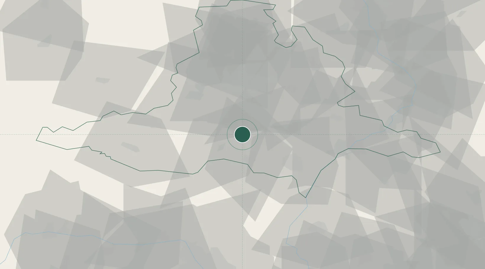
Place type
Populated place
Region
South Moravian
Population
751
Time zone
Europe/Prague
Elevation
177 m
Location
Nearby Logistics Neighbours
Cities
- 1Dolní Vestonice6 km
- 2Sakvice7 km
- 3Pohorelice U Brna9 km
- 4Pohorelice9 km
- 5Drnholec13 km
Ports
- 1Monfalcone420 km
- 2Trieste424 km
- 3Muggia428 km
- 4Rijeka Luka433 km
- 5Bakar434 km
Airports
- 1Brno-Tuřany Airport25 km
- 2Náměšť Air Base44 km
- 3Kunovice Airport61 km
- 4Malacky/Kuchyňa Air Base70 km
- 5Přerov Air Base79 km
Trade Zones
DatabookThe Record of Consolidated Knowledge
Czechia beyond logistics?