Transport Functions
Multimodal
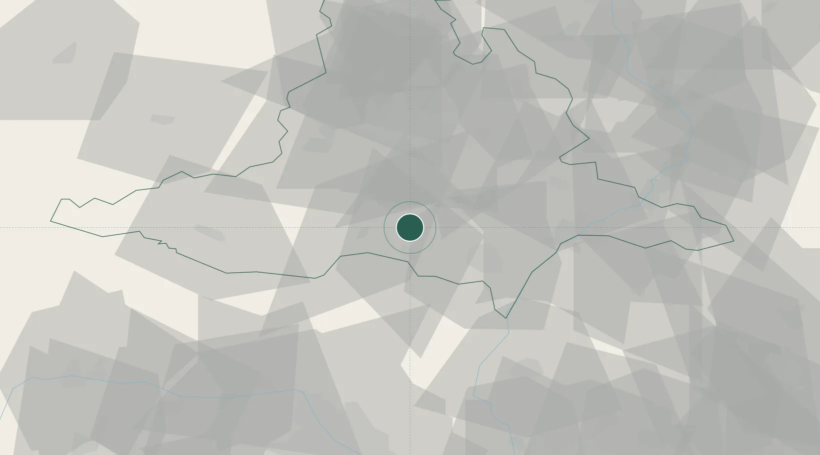
Hub Profile
Place type
Populated place
Region
South Moravian
Population
331
Time zone
Europe/Prague
Elevation
168 m
Location
Nearby Logistics Neighbours
Ports
- 1Monfalcone416 km
- 2Trieste421 km
- 3Muggia425 km
- 4Rijeka Luka429 km
- 5Bakar429 km
Airports
- 1Brno-Tuřany Airport30 km
- 2Náměšť Air Base50 km
- 3Kunovice Airport60 km
- 4Malacky/Kuchyňa Air Base64 km
- 5Přerov Air Base82 km
Trade Zones
DatabookThe Record of Consolidated Knowledge
Czechia beyond logistics?