Transport Functions
Multimodal
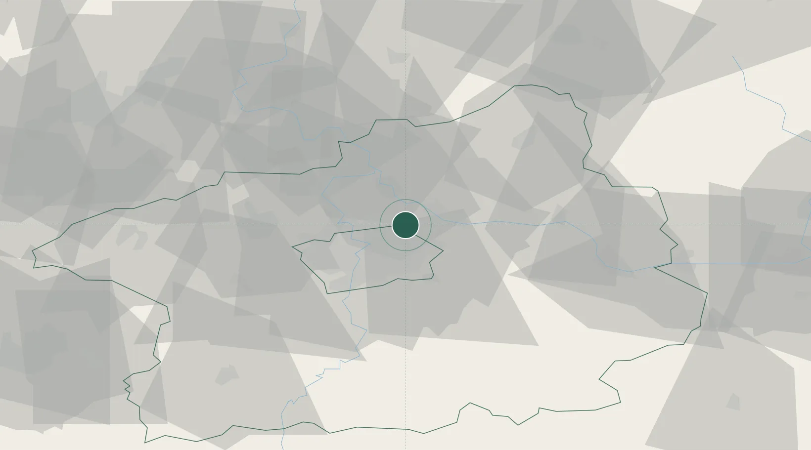
Hub Profile
Place type
Populated place
Region
Central Bohemia
Population
745
Time zone
Europe/Prague
Elevation
235 m
Location
Nearby Logistics Neighbours
Cities
- 1Kostelec nad Labem8 km
- 2Kojetice8 km
- 3Drisy10 km
- 4Ovcáry10 km
- 5Bechovice10 km
Ports
- 1Szczecin361 km
- 2Police378 km
- 3Swinoujscie418 km
- 4Wolgast435 km
- 5Kolobrzeg455 km
Airports
- 1Prague–Kbely Air Base5 km
- 2Vodochody Airport13 km
- 3Václav Havel Airport Prague23 km
- 4Kostomlaty Airstrip26 km
- 5Čáslav Air Base63 km
DatabookThe Record of Consolidated Knowledge
Czechia beyond logistics?