Transport Functions
Multimodal
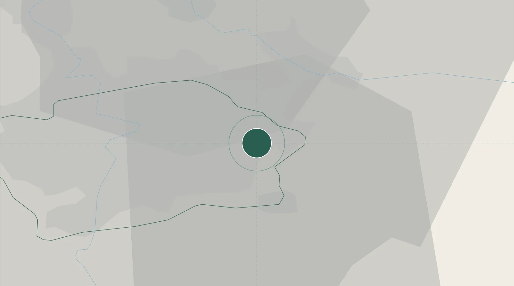
Hub Profile
Place type
Populated place
Region
Prague
Time zone
Europe/Prague
Elevation
241 m
Location
Nearby Logistics Neighbours
Cities
- 1Praha4 km
- 2Slustice6 km
- 3Prezletice10 km
- 4Nehvizdy10 km
- 5Most10 km
Ports
- 1Szczecin371 km
- 2Police387 km
- 3Swinoujscie427 km
- 4Wolgast445 km
- 5Kolobrzeg464 km
Airports
- 1Prague–Kbely Air Base7 km
- 2Vodochody Airport22 km
- 3Václav Havel Airport Prague26 km
- 4Kostomlaty Airstrip26 km
- 5Čáslav Air Base57 km
DatabookThe Record of Consolidated Knowledge
Czechia beyond logistics?