Transport Functions
Rail
Road
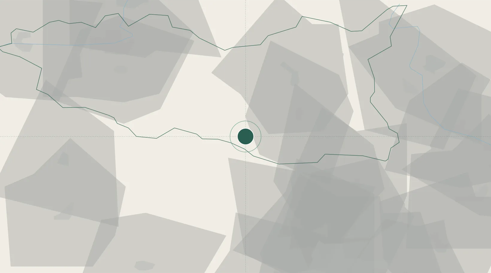
Hub Profile
Place type
Populated place
Region
Pardubický
Population
9,051
Time zone
Europe/Prague
Elevation
559 m
Location
Nearby Logistics Neighbours
Cities
- 1Jimramov8 km
- 2Chudobín15 km
- 3Olesnice Na Morave20 km
- 4Nové Mesto na Morave21 km
- 5Cerekvice nad Loucnou22 km
Ports
- 1Szczecin430 km
- 2Police446 km
- 3Monfalcone481 km
- 4Trieste488 km
- 5Swinoujscie489 km
Airports
- 1Pardubice Airport52 km
- 2Náměšť Air Base60 km
- 3Brno-Tuřany Airport68 km
- 4Čáslav Air Base69 km
- 5Přerov Air Base88 km
Trade Zones
DatabookThe Record of Consolidated Knowledge
Czechia beyond logistics?