Transport Functions
Port
Road
Hub Profile
Place type
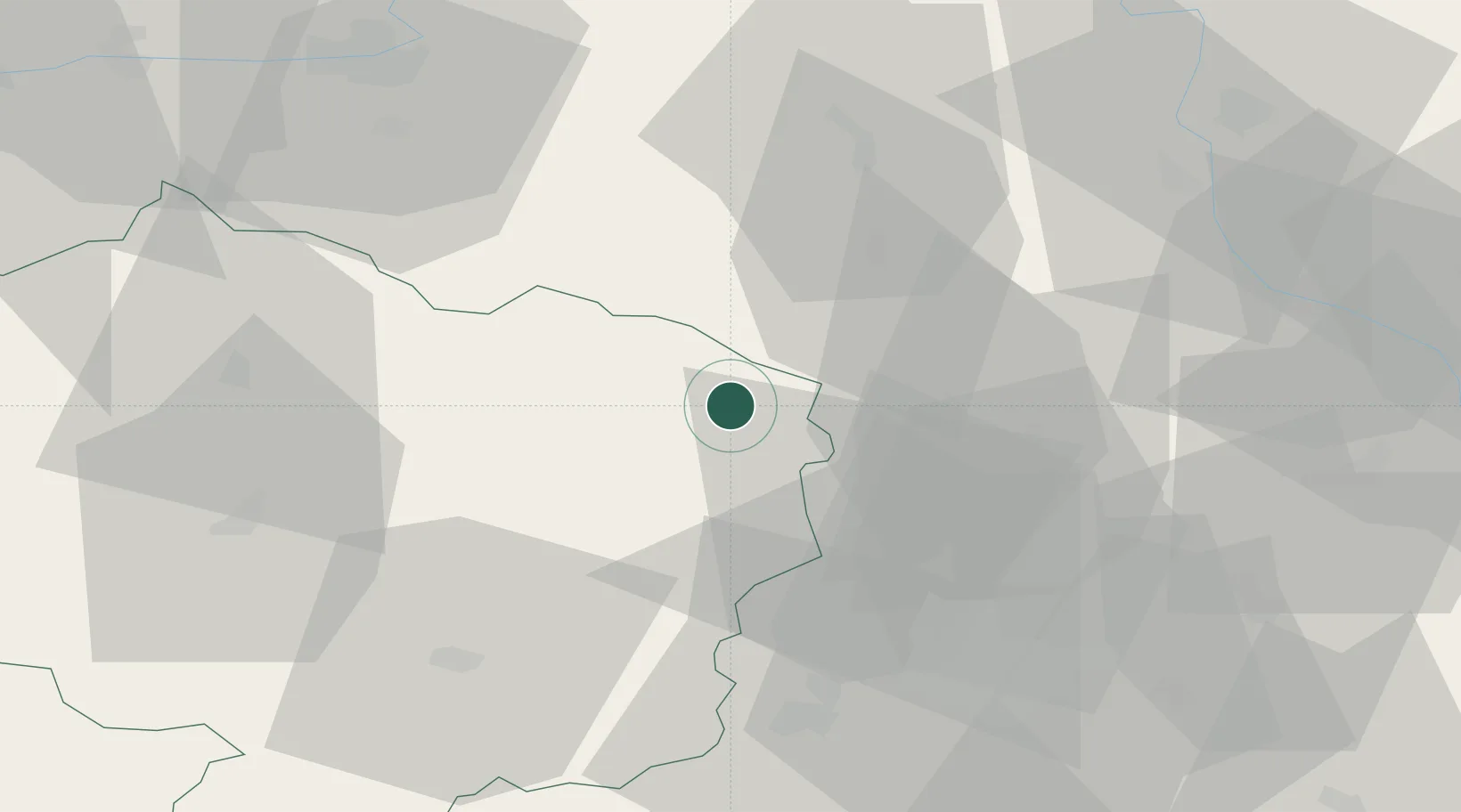
Populated place
Region
Vysočina
Time zone
Europe/Prague
Elevation
466 m
Location
Nearby Logistics Neighbours
Cities
- 1Jimramov8 km
- 2Olesnice Na Morave11 km
- 3Nové Mesto na Morave14 km
- 4Policka15 km
- 5Zdár nad Sázavou23 km
Ports
- 1Szczecin444 km
- 2Police460 km
- 3Monfalcone467 km
- 4Trieste475 km
- 5Muggia479 km
Airports
- 1Náměšť Air Base46 km
- 2Brno-Tuřany Airport56 km
- 3Pardubice Airport63 km
- 4Čáslav Air Base76 km
- 5Přerov Air Base84 km
Trade Zones
DatabookThe Record of Consolidated Knowledge
Czechia beyond logistics?