Transport Functions
Rail
Road
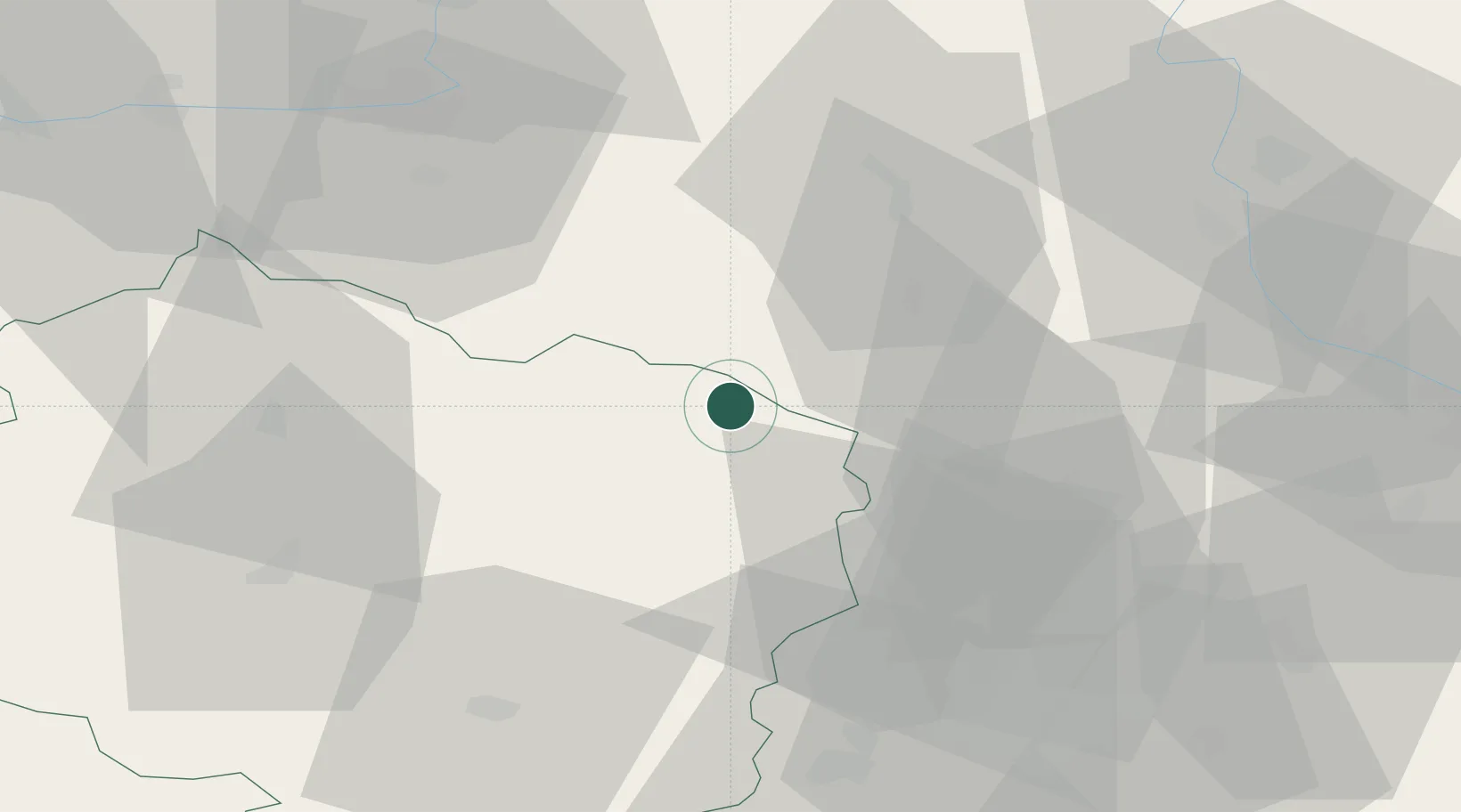
Hub Profile
Place type
Populated place
Region
Vysočina
Population
1,207
Time zone
Europe/Prague
Elevation
495 m
Location
Nearby Logistics Neighbours
Cities
- 1Policka8 km
- 2Chudobín8 km
- 3Nové Mesto na Morave13 km
- 4Olesnice Na Morave17 km
- 5Zdár nad Sázavou21 km
Ports
- 1Szczecin436 km
- 2Police452 km
- 3Monfalcone472 km
- 4Trieste480 km
- 5Muggia485 km
Airports
- 1Náměšť Air Base52 km
- 2Pardubice Airport55 km
- 3Brno-Tuřany Airport64 km
- 4Čáslav Air Base69 km
- 5Přerov Air Base89 km
Trade Zones
DatabookThe Record of Consolidated Knowledge
Czechia beyond logistics?