UN/LOCODE hub · Czechia
CZNMO

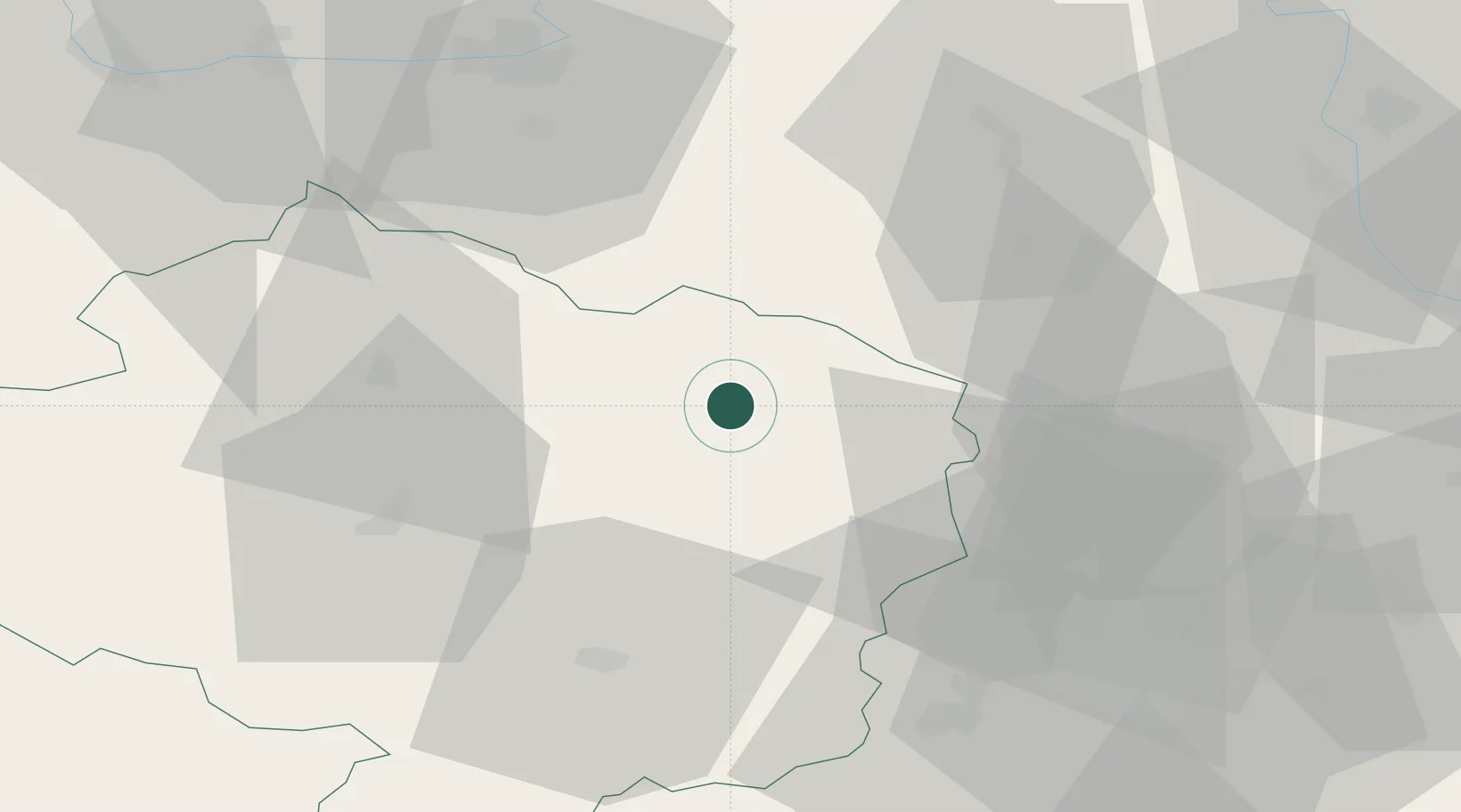
Nové Mesto na Morave

49.5667°, 16.0667°
10,098
Population
2
Transport functions

Transport Functions

Rail
Road
UN/LOCODE

Hub Profile

Place type
Populated place
GeoNames
Region
Vysočina
GeoNames
Population
10,098
GeoNames
Time zone
Europe/Prague
GeoNames
Elevation
594 m
GeoNames

Location

Location of CZNMO
Natural Earth 10m (public domain) · Vysočina · CZNMO · 49.57, 16.07GoogleOSMYandex

Nearby Logistics Neighbours

Cities
  1. 1Zdár nad Sázavou8 km
  2. 2Jimramov13 km
  3. 3Nové Veselí13 km
  4. 4Chudobín14 km
  5. 5Krucemburk20 km
Nearest neighbours — logibook spatial index (haversine) over the source coordinates
Ports
  1. 1Szczecin441 km
  2. 2Police457 km
  3. 3Monfalcone461 km
  4. 4Trieste469 km
  5. 5Muggia474 km
Nearest neighbours — logibook spatial index (haversine) over the source coordinates
Airports
  1. 1Náměšť Air Base45 km
  2. 2Pardubice Airport55 km
  3. 3Čáslav Air Base64 km
  4. 4Brno-Tuřany Airport65 km
  5. 5Přerov Air Base98 km
Nearest neighbours — logibook spatial index (haversine) over the source coordinates
Trade Zones
  1. 1Světlá nad Sázavou Municipal Industrial Zone48 km
  2. 2Pardubice City Industrial Zone54 km
  3. 3Černovická Terasa Industrial Zone62 km
  4. 4Industrial Zone Kutna Hora70 km
  5. 5Kolín - Ovčáry Industrial Zone82 km
Nearest neighbours — logibook spatial index (haversine) over the source coordinates
DatabookThe Record of Consolidated Knowledge
Czechia beyond logistics?
Browse databook

All Sources

LocationsUN/LOCODE
UN/LOCODE — free
LocationsGeoNames
CC BY 4.0
Portsthe NGA World Port Index
Public domain (US gov)
AirportsOurAirports
Public domain
Trade Zonesthe World Bank SEZ database
CC BY 4.0
Trade ZonesOpen Zone Map
CC BY
← Czechia locations