Transport Functions
Multimodal
Hub Profile
Region
JM
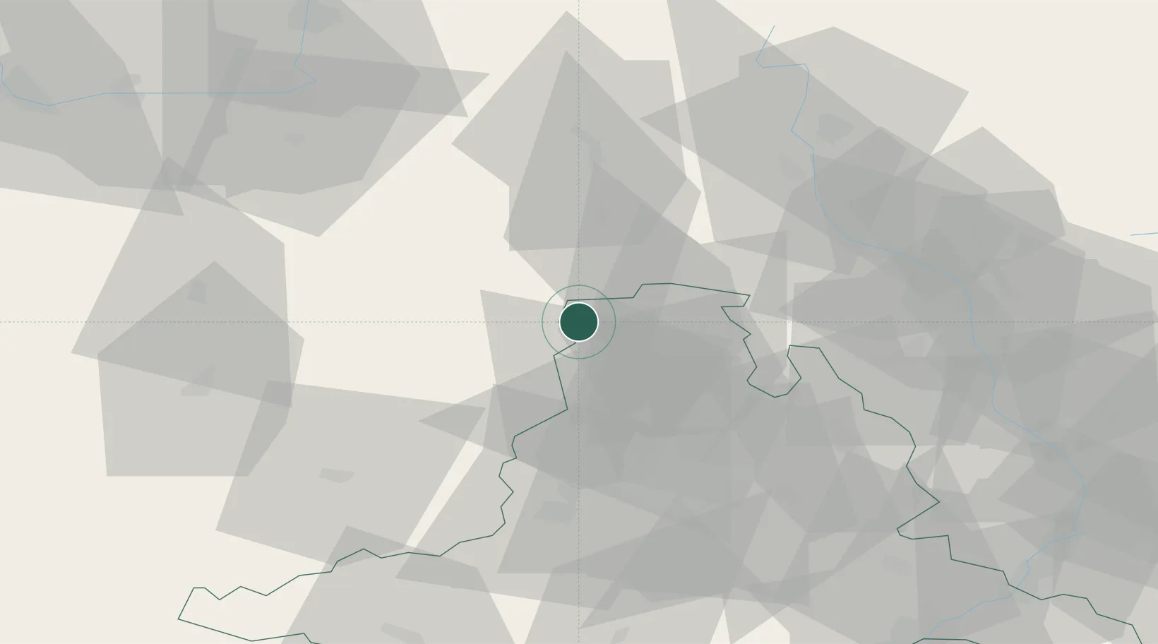
Location
Nearby Logistics Neighbours
Cities
- 1Chudobín11 km
- 2Jimramov17 km
- 3Boskovice20 km
- 4Policka20 km
- 5Velké Opatovice20 km
Ports
- 1Szczecin449 km
- 2Police465 km
- 3Monfalcone471 km
- 4Trieste478 km
- 5Muggia482 km
Airports
- 1Náměšť Air Base48 km
- 2Brno-Tuřany Airport49 km
- 3Pardubice Airport71 km
- 4Přerov Air Base73 km
- 5Čáslav Air Base86 km
Trade Zones
DatabookThe Record of Consolidated Knowledge
Czechia beyond logistics?