Transport Functions
Port
Road
Hub Profile
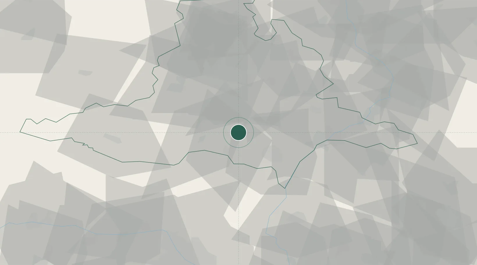
Place type
Populated place
Region
South Moravian
Population
1,494
Time zone
Europe/Prague
Elevation
193 m
Location
Nearby Logistics Neighbours
Cities
- 1Dolní Vestonice4 km
- 2Pouzdrany7 km
- 3Zajecí8 km
- 4Rakvice11 km
- 5Klobouky U Brna15 km
Ports
- 1Monfalcone420 km
- 2Trieste424 km
- 3Muggia429 km
- 4Rijeka Luka432 km
- 5Bakar433 km
Airports
- 1Brno-Tuřany Airport28 km
- 2Náměšť Air Base51 km
- 3Kunovice Airport56 km
- 4Malacky/Kuchyňa Air Base63 km
- 5Přerov Air Base78 km
Trade Zones
DatabookThe Record of Consolidated Knowledge
Czechia beyond logistics?