Transport Functions
Multimodal
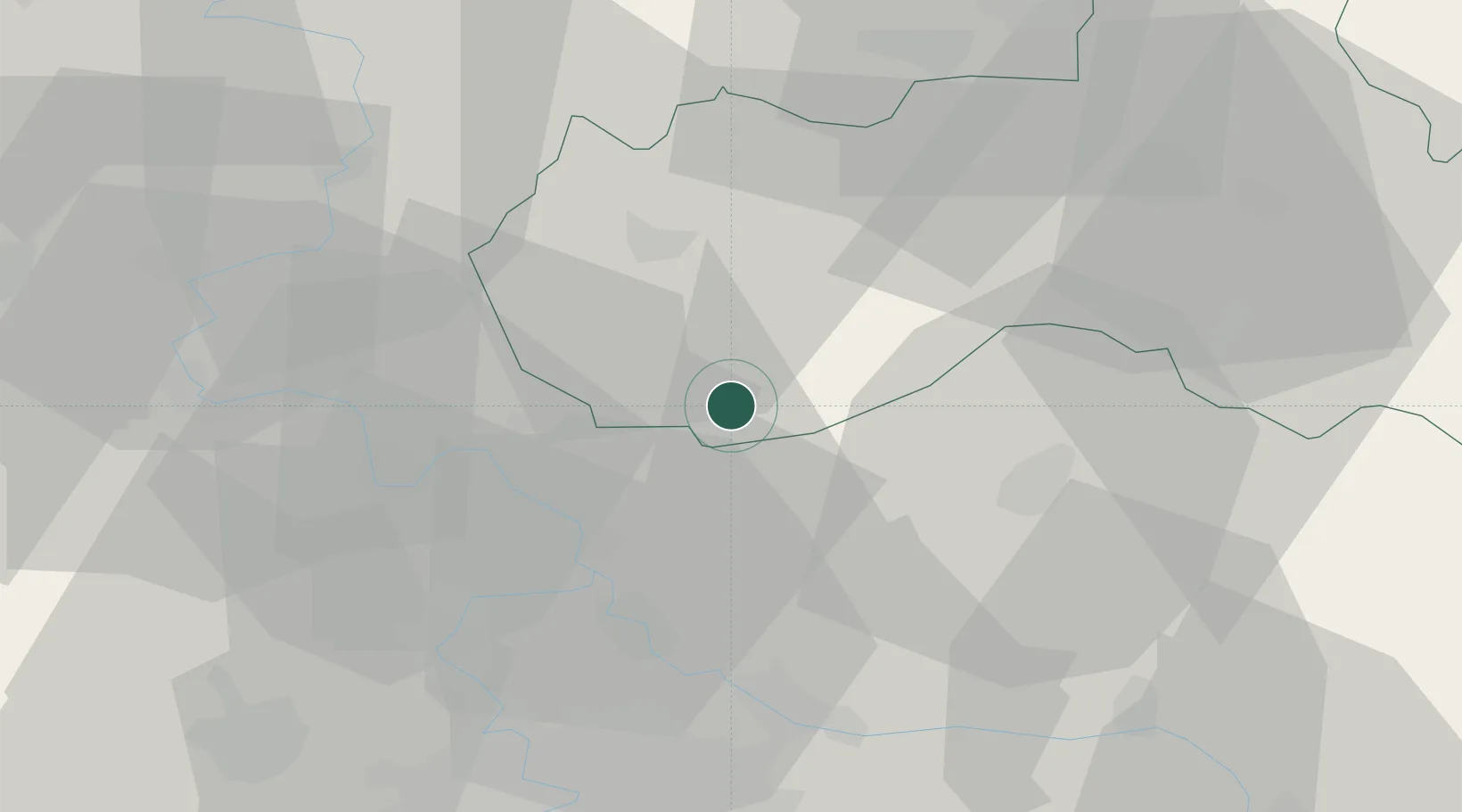
Hub Profile
Place type
Populated place
Region
Liberecký kraj
Population
116
Time zone
Europe/Prague
Elevation
361 m
Location
Nearby Logistics Neighbours
Cities
- 1Mseno8 km
- 2Kurivody16 km
- 3Stetí18 km
- 4Vysoká Liben19 km
- 5Ceská Lípa19 km
Ports
- 1Szczecin323 km
- 2Police339 km
- 3Swinoujscie379 km
- 4Wolgast397 km
- 5Kolobrzeg416 km
Airports
- 1Vodochody Airport37 km
- 2Kostomlaty Airstrip41 km
- 3Prague–Kbely Air Base44 km
- 4Václav Havel Airport Prague53 km
- 5Čáslav Air Base84 km
Trade Zones
DatabookThe Record of Consolidated Knowledge
Czechia beyond logistics?