Transport Functions
Rail
Road
Hub Profile
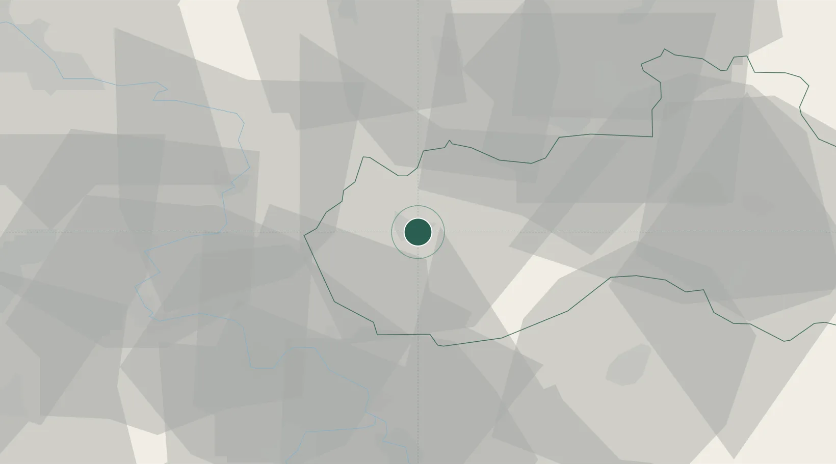
Place type
Populated place
Region
Liberecký kraj
Population
36,815
Time zone
Europe/Prague
Elevation
263 m
Location
Nearby Logistics Neighbours
Cities
- 1Struznice6 km
- 2Novy Bor10 km
- 3Kamenický Senov11 km
- 4Cvikov13 km
- 5Frantiskov nad Ploucnici16 km
Ports
- 1Szczecin304 km
- 2Police321 km
- 3Swinoujscie360 km
- 4Wolgast378 km
- 5Kolobrzeg399 km
Airports
- 1Vodochody Airport53 km
- 2Kostomlaty Airstrip59 km
- 3Prague–Kbely Air Base63 km
- 4Václav Havel Airport Prague68 km
- 5Dresden Airport74 km
Trade Zones
DatabookThe Record of Consolidated Knowledge
Czechia beyond logistics?