Transport Functions
Multimodal
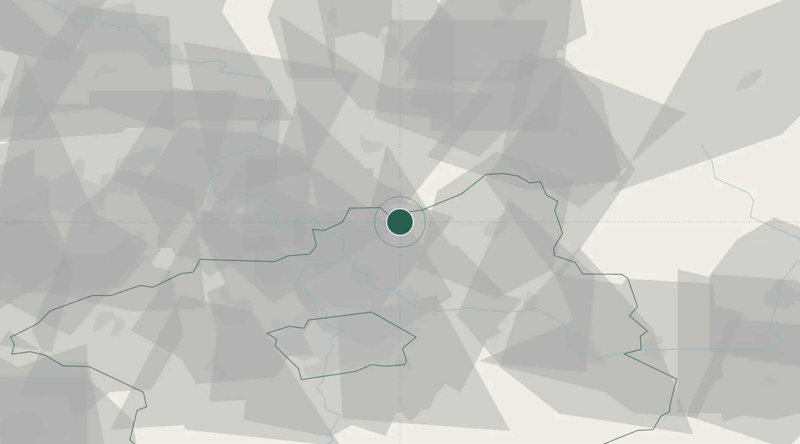
Hub Profile
Place type
Populated place
Region
Central Bohemia
Population
1,417
Time zone
Europe/Prague
Elevation
359 m
Location
Nearby Logistics Neighbours
Cities
- 1Zdirec8 km
- 2Vysoká Liben11 km
- 3Dolní Cetno14 km
- 4Melník15 km
- 5Melnik16 km
Ports
- 1Szczecin330 km
- 2Police347 km
- 3Swinoujscie386 km
- 4Wolgast405 km
- 5Kolobrzeg423 km
Airports
- 1Vodochody Airport31 km
- 2Kostomlaty Airstrip34 km
- 3Prague–Kbely Air Base37 km
- 4Václav Havel Airport Prague47 km
- 5Čáslav Air Base78 km
Trade Zones
DatabookThe Record of Consolidated Knowledge
Czechia beyond logistics?