Transport Functions
Multimodal
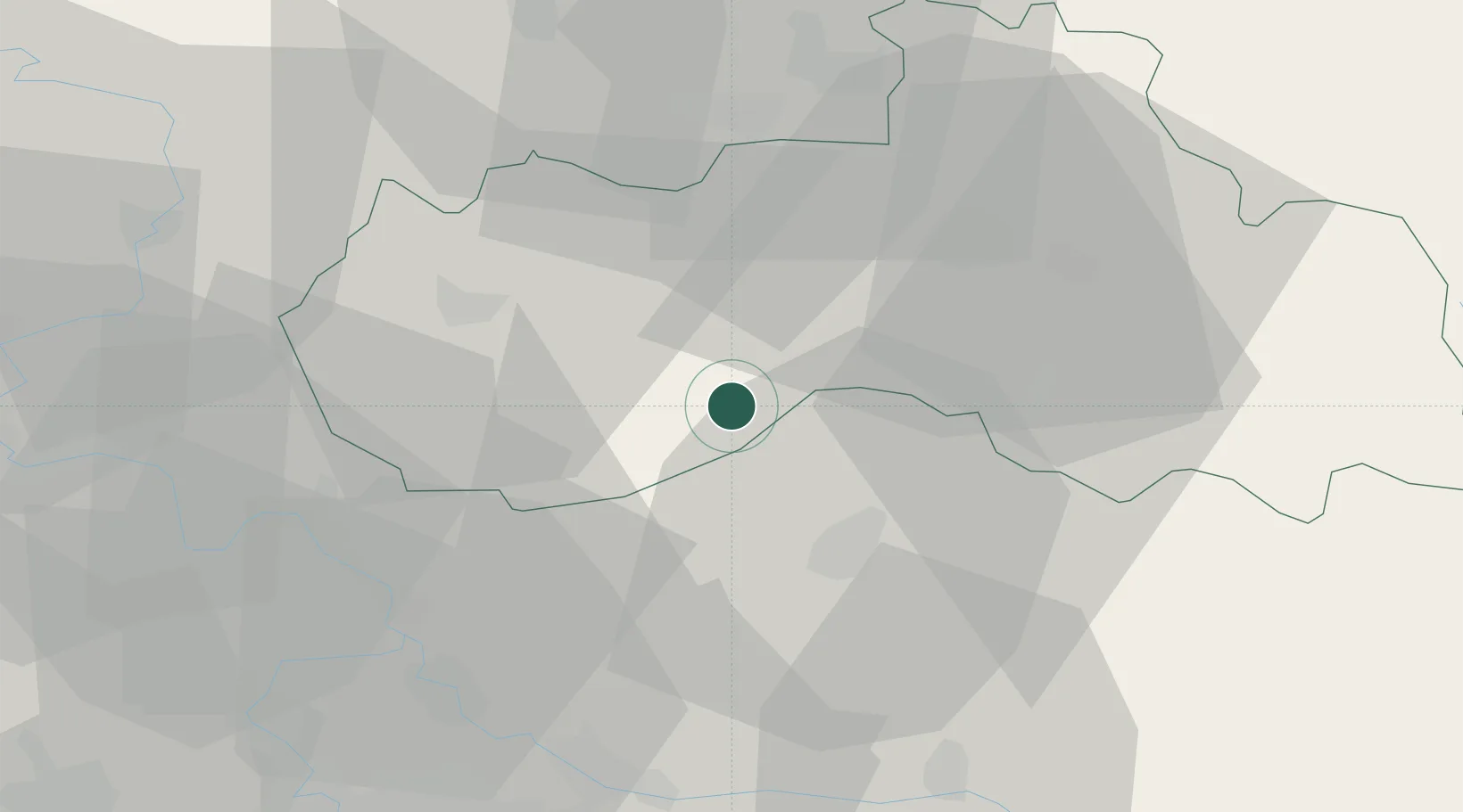
Hub Profile
Place type
Populated place
Region
Liberecký kraj
Time zone
Europe/Prague
Elevation
336 m
Location
Nearby Logistics Neighbours
Cities
- 1Klaster Hradiste nad Jizerou11 km
- 2Mnichovo Hradiste13 km
- 3Bakov nad Jizerou14 km
- 4Zdirec16 km
- 5Mladá Boleslav19 km
Ports
- 1Szczecin316 km
- 2Police332 km
- 3Swinoujscie373 km
- 4Wolgast392 km
- 5Kolobrzeg407 km
Airports
- 1Kostomlaty Airstrip42 km
- 2Vodochody Airport51 km
- 3Prague–Kbely Air Base55 km
- 4Václav Havel Airport Prague67 km
- 5Čáslav Air Base82 km
Trade Zones
DatabookThe Record of Consolidated Knowledge
Czechia beyond logistics?