Transport Functions
Multimodal
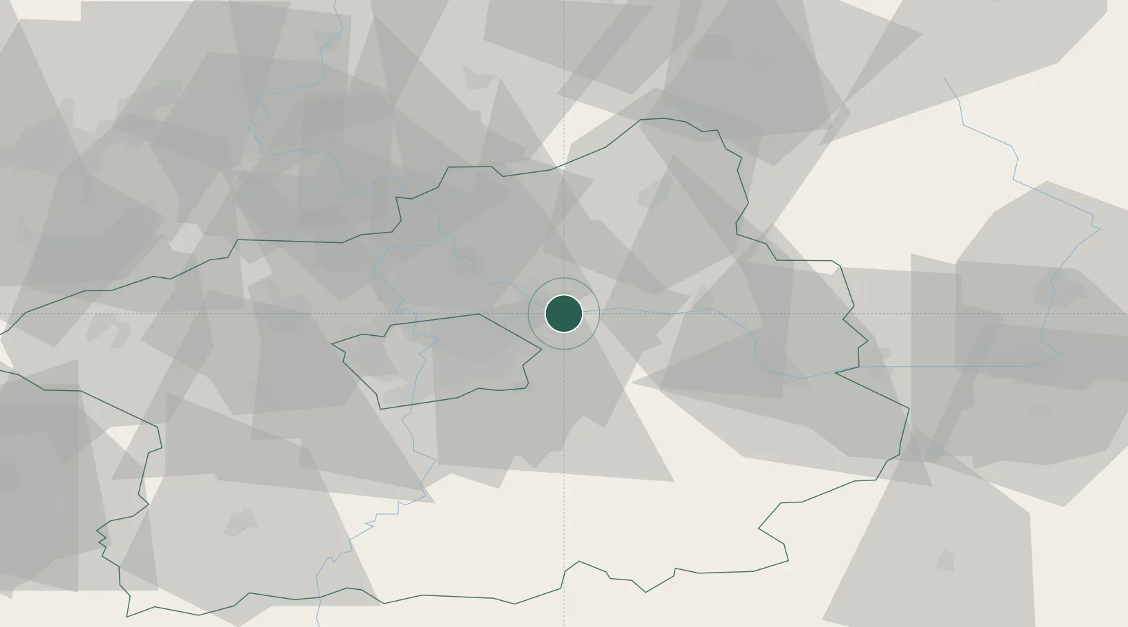
Hub Profile
Place type
Populated place
Region
Central Bohemia
Population
496
Time zone
Europe/Prague
Elevation
175 m
Location
Nearby Logistics Neighbours
Cities
- 1Nový Vestec2 km
- 2Celákovice2 km
- 3Nehvizdy4 km
- 4Mochov5 km
- 5Lysá nad Labem8 km
Ports
- 1Szczecin362 km
- 2Police378 km
- 3Swinoujscie418 km
- 4Wolgast437 km
- 5Kolobrzeg454 km
Airports
- 1Prague–Kbely Air Base14 km
- 2Kostomlaty Airstrip15 km
- 3Vodochody Airport25 km
- 4Václav Havel Airport Prague35 km
- 5Čáslav Air Base53 km
Trade Zones
DatabookThe Record of Consolidated Knowledge
Czechia beyond logistics?