Transport Functions
Rail
Road
Hub Profile
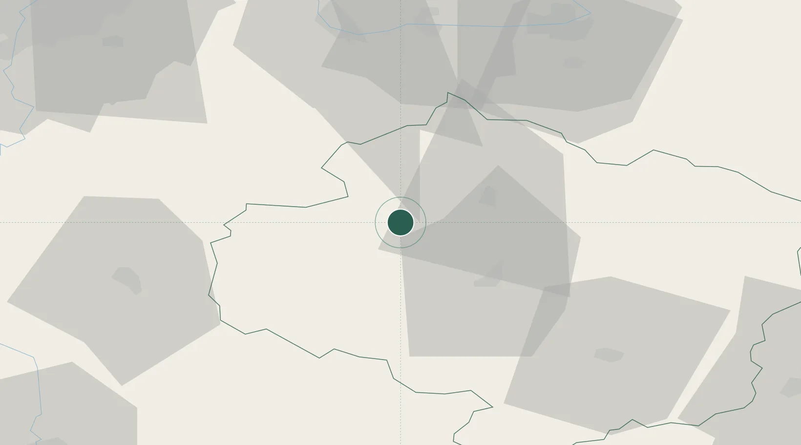
Place type
Populated place
Region
Vysočina
Population
10,914
Time zone
Europe/Prague
Elevation
530 m
Location
Nearby Logistics Neighbours
Cities
- 1Havlíckuv Brod17 km
- 2Ledec nad Sázavou18 km
- 3Dobronín22 km
- 4Chotebor29 km
- 5Trhovy Stepanov30 km
Ports
- 1Szczecin434 km
- 2Monfalcone440 km
- 3Police450 km
- 4Trieste450 km
- 5Nogaro453 km
Airports
- 1Čáslav Air Base43 km
- 2Pardubice Airport58 km
- 3Náměšť Air Base70 km
- 4Kostomlaty Airstrip80 km
- 5Prague–Kbely Air Base87 km
Trade Zones
DatabookThe Record of Consolidated Knowledge
Czechia beyond logistics?