Transport Functions
Rail
Road
Hub Profile
Place type
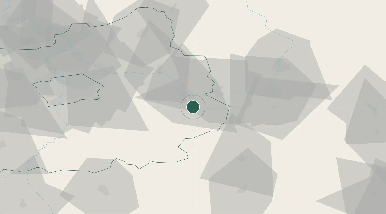
Populated place
Region
Central Bohemia
Population
21,642
Time zone
Europe/Prague
Elevation
254 m
Location
Nearby Logistics Neighbours
Cities
- 1Kolín9 km
- 2Korotice9 km
- 3Týnec nad Labem11 km
- 4Kralice13 km
- 5Horusice13 km
Ports
- 1Szczecin389 km
- 2Police405 km
- 3Swinoujscie446 km
- 4Monfalcone481 km
- 5Trieste491 km
Airports
- 1Čáslav Air Base8 km
- 2Pardubice Airport35 km
- 3Kostomlaty Airstrip38 km
- 4Prague–Kbely Air Base55 km
- 5Vodochody Airport69 km
Trade Zones
DatabookThe Record of Consolidated Knowledge
Czechia beyond logistics?