Transport Functions
Rail
Road
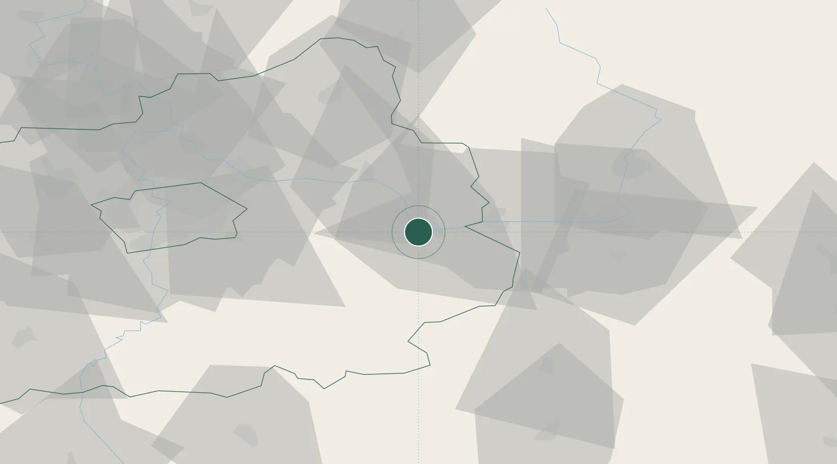
Hub Profile
Place type
Populated place
Region
Central Bohemia
Population
33,444
Time zone
Europe/Prague
Elevation
220 m
Location
Nearby Logistics Neighbours
Cities
- 1Veltruby8 km
- 2Smirice8 km
- 3Kutná Hora9 km
- 4Velký Osek10 km
- 5Týnec nad Labem11 km
Ports
- 1Szczecin381 km
- 2Police397 km
- 3Swinoujscie438 km
- 4Wolgast459 km
- 5Kolobrzeg468 km
Airports
- 1Čáslav Air Base16 km
- 2Kostomlaty Airstrip29 km
- 3Pardubice Airport39 km
- 4Prague–Kbely Air Base48 km
- 5Vodochody Airport62 km
Trade Zones
DatabookThe Record of Consolidated Knowledge
Czechia beyond logistics?