UN/LOCODE hub · Czechia
CZKME

Kralice

49.8667°, 15.1500°
1
Transport functions

Transport Functions

Multimodal
UN/LOCODE

Hub Profile

Place type
Populated place
GeoNames
Region
Central Bohemia
GeoNames
Time zone
Europe/Prague
GeoNames
Elevation
468 m
GeoNames

Location

Location of CZKME
Natural Earth 10m (public domain) · Central Bohemia · CZKME · 49.87, 15.15GoogleOSMYandex

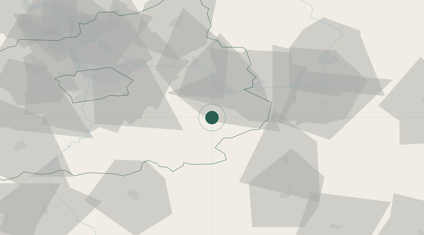
Nearby Logistics Neighbours

Cities
  1. 1Zbraslavice6 km
  2. 2Uhlirske Janovice6 km
  3. 3Korotice8 km
  4. 4Kutná Hora13 km
  5. 5Kolín17 km
Nearest neighbours — logibook spatial index (haversine) over the source coordinates
Ports
  1. 1Szczecin397 km
  2. 2Police413 km
  3. 3Swinoujscie454 km
  4. 4Monfalcone470 km
  5. 5Nogaro480 km
Nearest neighbours — logibook spatial index (haversine) over the source coordinates
Airports
  1. 1Čáslav Air Base19 km
  2. 2Kostomlaty Airstrip41 km
  3. 3Pardubice Airport45 km
  4. 4Prague–Kbely Air Base52 km
  5. 5Vodochody Airport66 km
Nearest neighbours — logibook spatial index (haversine) over the source coordinates
Trade Zones
  1. 1Industrial Zone Kutna Hora12 km
  2. 2Kolín - Ovčáry Industrial Zone23 km
  3. 3Světlá nad Sázavou Municipal Industrial Zone29 km
  4. 4Pardubice City Industrial Zone51 km
  5. 5Kamienna Góra120 km
Nearest neighbours — logibook spatial index (haversine) over the source coordinates
DatabookThe Record of Consolidated Knowledge
Czechia beyond logistics?
Browse databook

All Sources

LocationsUN/LOCODE
UN/LOCODE — free
Portsthe NGA World Port Index
Public domain (US gov)
AirportsOurAirports
Public domain
Trade Zonesthe World Bank SEZ database
CC BY 4.0
Trade ZonesOpen Zone Map
CC BY
← Czechia locations