UN/LOCODE hub · Czechia
CZTYL
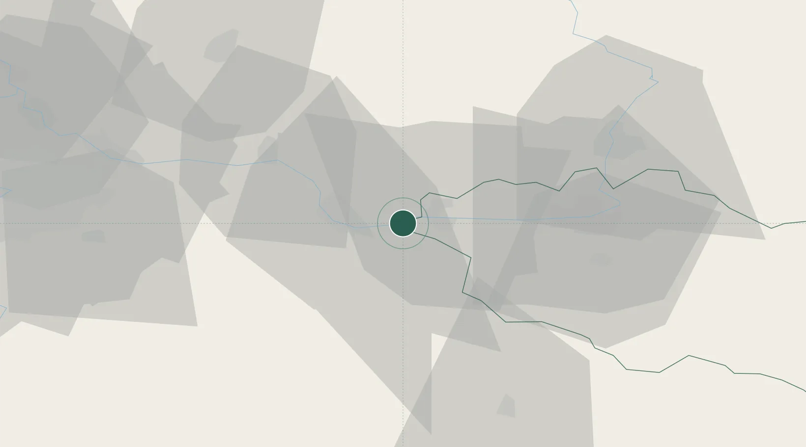
Týnec nad Labem
50.0333°, 15.3500°
1,868
Population
2
Transport functions
Transport Functions
Rail
Road
Hub Profile
Place type
Populated place
Region
Central Bohemia
Population
1,868
Time zone
Europe/Prague
Elevation
240 m
Location
Nearby Logistics Neighbours
Cities
- 1Horusice7 km
- 2Trnavka8 km
- 3Kladruby Nad Labem10 km
- 4Kolín11 km
- 5Kutná Hora11 km
Ports
- 1Szczecin380 km
- 2Police397 km
- 3Swinoujscie438 km
- 4Wolgast459 km
- 5Kolobrzeg465 km
Airports
- 1Čáslav Air Base11 km
- 2Pardubice Airport28 km
- 3Kostomlaty Airstrip36 km
- 4Prague–Kbely Air Base58 km
- 5Vodochody Airport71 km
Trade Zones
DatabookThe Record of Consolidated Knowledge
Czechia beyond logistics?