Transport Functions
Port
Rail
Road
Hub Profile
Place type
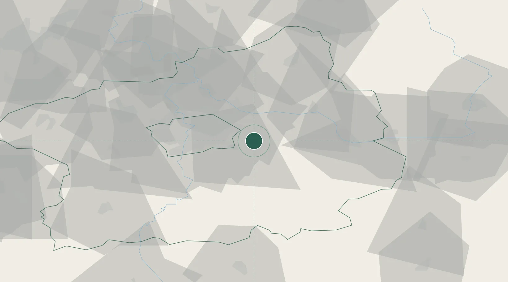
Populated place
Region
Central Bohemia
Population
176
Time zone
Europe/Prague
Elevation
382 m
Location
Nearby Logistics Neighbours
Cities
- 1Slustice5 km
- 2Brezany8 km
- 3Kostelec nad Cernými Lesy9 km
- 4Bechovice11 km
- 5Nehvizdy11 km
Ports
- 1Szczecin377 km
- 2Police393 km
- 3Swinoujscie433 km
- 4Wolgast452 km
- 5Kolobrzeg468 km
Airports
- 1Prague–Kbely Air Base18 km
- 2Kostomlaty Airstrip23 km
- 3Vodochody Airport32 km
- 4Václav Havel Airport Prague36 km
- 5Čáslav Air Base46 km
Trade Zones
DatabookThe Record of Consolidated Knowledge
Czechia beyond logistics?