Transport Functions
Multimodal
Hub Profile
Region
ST
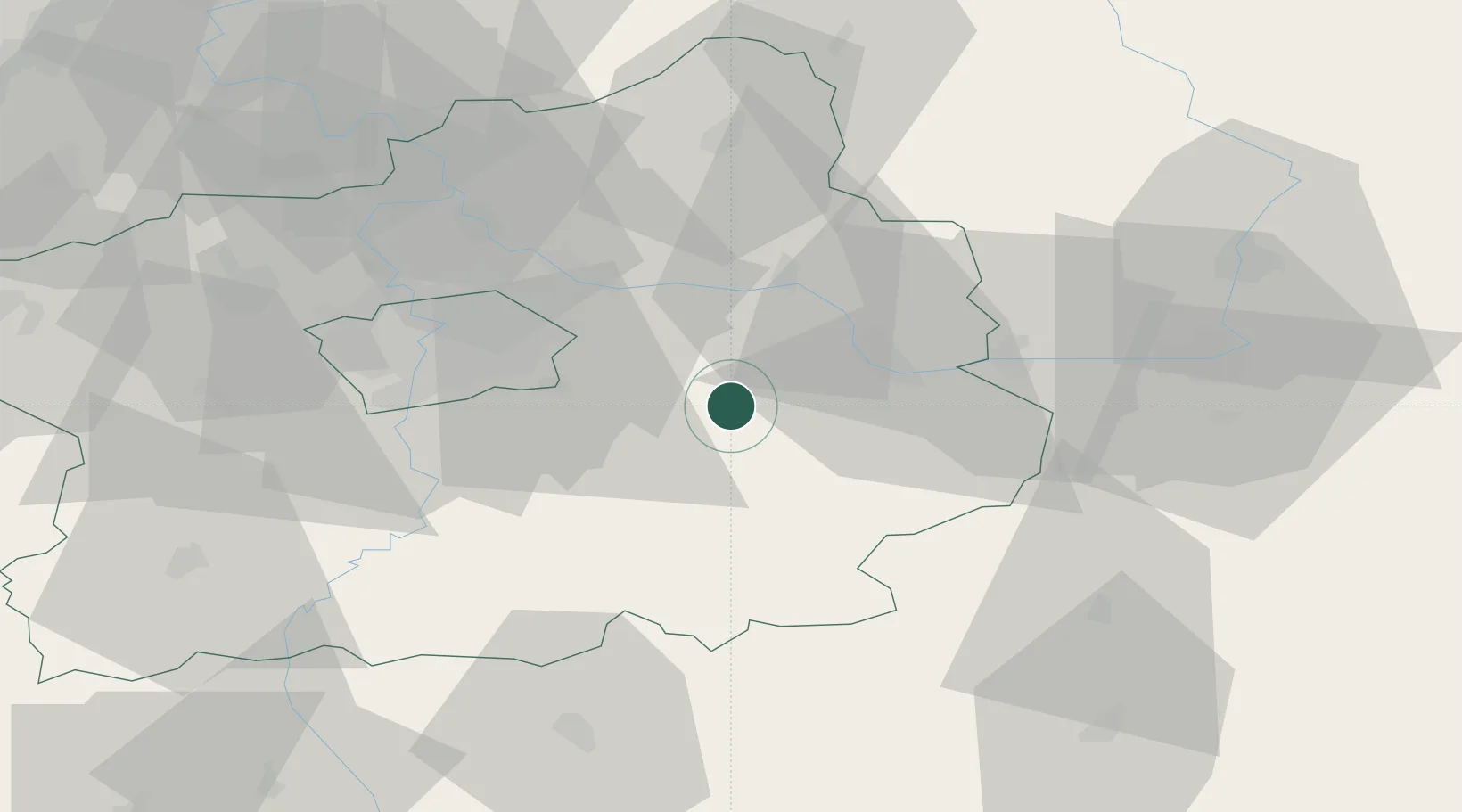
Location
Nearby Logistics Neighbours
Cities
- 1Kostelec nad Cernými Lesy7 km
- 2Stribrna Skalice10 km
- 3Smirice11 km
- 4Sázava12 km
- 5Uhlirske Janovice13 km
Ports
- 1Szczecin385 km
- 2Police401 km
- 3Swinoujscie442 km
- 4Monfalcone477 km
- 5Nogaro486 km
Airports
- 1Kostomlaty Airstrip27 km
- 2Čáslav Air Base31 km
- 3Prague–Kbely Air Base34 km
- 4Vodochody Airport48 km
- 5Václav Havel Airport Prague52 km
Trade Zones
DatabookThe Record of Consolidated Knowledge
Czechia beyond logistics?