Transport Functions
Road
Multimodal
Hub Profile
Place type
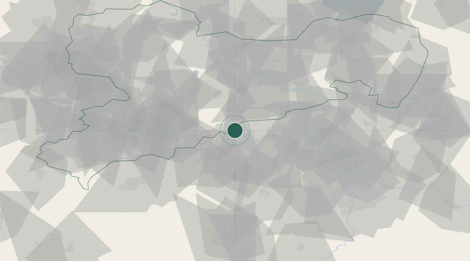
Populated place
Region
Saxony
Time zone
Europe/Berlin
Elevation
724 m
Location
Nearby Logistics Neighbours
Cities
- 1Neuhausen4 km
- 2Deutschneudorf4 km
- 3Olbernhau11 km
- 4Rechenberg-Bienenmühle12 km
- 5Haj u Duchcova15 km
Ports
- 1Szczecin318 km
- 2Police334 km
- 3Swinoujscie369 km
- 4Wolgast381 km
- 5Wismar388 km
Airports
- 1Dresden Airport59 km
- 2Karlovy Vary Airport63 km
- 3Leipzig–Altenburg Airport79 km
- 4Vodochody Airport80 km
- 5Václav Havel Airport Prague81 km
Trade Zones
DatabookThe Record of Consolidated Knowledge
Germany beyond logistics?