Transport Functions
Port
Rail
Road
Postal
Hub Profile
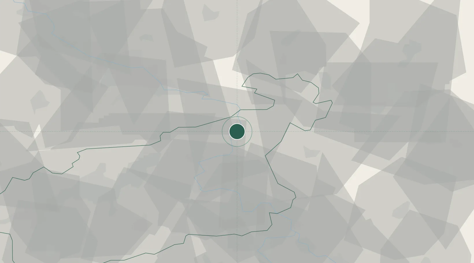
Place type
Populated place
Region
Ústecký kraj
Population
46,376
Time zone
Europe/Prague
Elevation
135 m
Location
Nearby Logistics Neighbours
Cities
- 1Bynov5 km
- 2Benesov nad Ploucnici9 km
- 3Dobkovice10 km
- 4Frantiskov nad Ploucnici11 km
- 5Ustí nad Labem17 km
Ports
- 1Szczecin294 km
- 2Police310 km
- 3Swinoujscie348 km
- 4Wolgast364 km
- 5Kolobrzeg392 km
Airports
- 1Dresden Airport50 km
- 2Vodochody Airport64 km
- 3Václav Havel Airport Prague76 km
- 4Prague–Kbely Air Base77 km
- 5Kostomlaty Airstrip81 km
Trade Zones
DatabookThe Record of Consolidated Knowledge
Czechia beyond logistics?