UN/LOCODE hub · Czechia
CZFNP

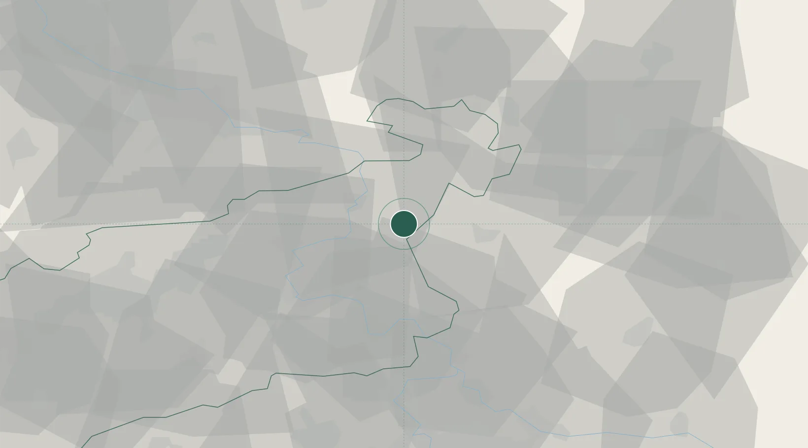
Frantiskov nad Ploucnici

50.7167°, 14.3333°
379
Population
1
Transport functions

Transport Functions

Multimodal
UN/LOCODE

Hub Profile

Place type
Populated place
GeoNames
Region
Ústecký kraj
GeoNames
Population
379
GeoNames
Time zone
Europe/Prague
GeoNames
Elevation
214 m
GeoNames

Location

Location of CZFNP
Natural Earth 10m (public domain) · Ústecký kraj · CZFNP · 50.72, 14.33GoogleOSMYandex

Nearby Logistics Neighbours

Cities
  1. 1Benesov nad Ploucnici2 km
  2. 2Struznice10 km
  3. 3Kamenický Senov11 km
  4. 4Decín11 km
  5. 5Dobkovice12 km
Nearest neighbours — logibook spatial index (haversine) over the source coordinates
Ports
  1. 1Szczecin301 km
  2. 2Police317 km
  3. 3Swinoujscie356 km
  4. 4Wolgast373 km
  5. 5Kolobrzeg398 km
Nearest neighbours — logibook spatial index (haversine) over the source coordinates
Airports
  1. 1Vodochody Airport56 km
  2. 2Dresden Airport61 km
  3. 3Prague–Kbely Air Base68 km
  4. 4Václav Havel Airport Prague69 km
  5. 5Kostomlaty Airstrip70 km
Nearest neighbours — logibook spatial index (haversine) over the source coordinates
Trade Zones
  1. 1Most - Joseph Industrial Zone55 km
  2. 2Žatec - Triangle Strategic Industrial Zone68 km
  3. 3Podbořany Industrial Zone85 km
  4. 4Kolín - Ovčáry Industrial Zone96 km
  5. 5Industrial Zone Kutna Hora110 km
Nearest neighbours — logibook spatial index (haversine) over the source coordinates
DatabookThe Record of Consolidated Knowledge
Czechia beyond logistics?
Browse databook

All Sources

LocationsUN/LOCODE
UN/LOCODE — free
LocationsGeoNames
CC BY 4.0
Portsthe NGA World Port Index
Public domain (US gov)
AirportsOurAirports
Public domain
Trade Zonesthe World Bank SEZ database
CC BY 4.0
Trade ZonesOpen Zone Map
CC BY
← Czechia locations