Transport Functions
Rail
Road
Hub Profile
Place type
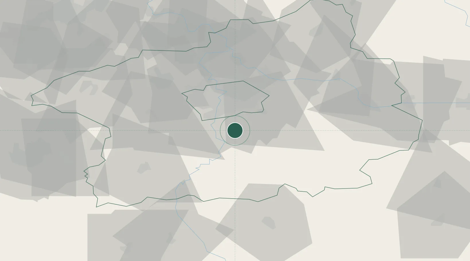
Populated place
Region
Central Bohemia
Population
4,919
Time zone
Europe/Prague
Elevation
394 m
Location
Nearby Logistics Neighbours
Cities
- 1Dolní Jircany6 km
- 2Dolni Brezany8 km
- 3Davle9 km
- 4Vrané nad Vltavou9 km
- 5Stechovice9 km
Ports
- 1Szczecin391 km
- 2Police408 km
- 3Swinoujscie447 km
- 4Monfalcone463 km
- 5Nogaro471 km
Airports
- 1Prague–Kbely Air Base25 km
- 2Václav Havel Airport Prague28 km
- 3Vodochody Airport36 km
- 4Kostomlaty Airstrip46 km
- 5Čáslav Air Base63 km
DatabookThe Record of Consolidated Knowledge
Czechia beyond logistics?