UN/LOCODE hub · Czechia
CZVRN
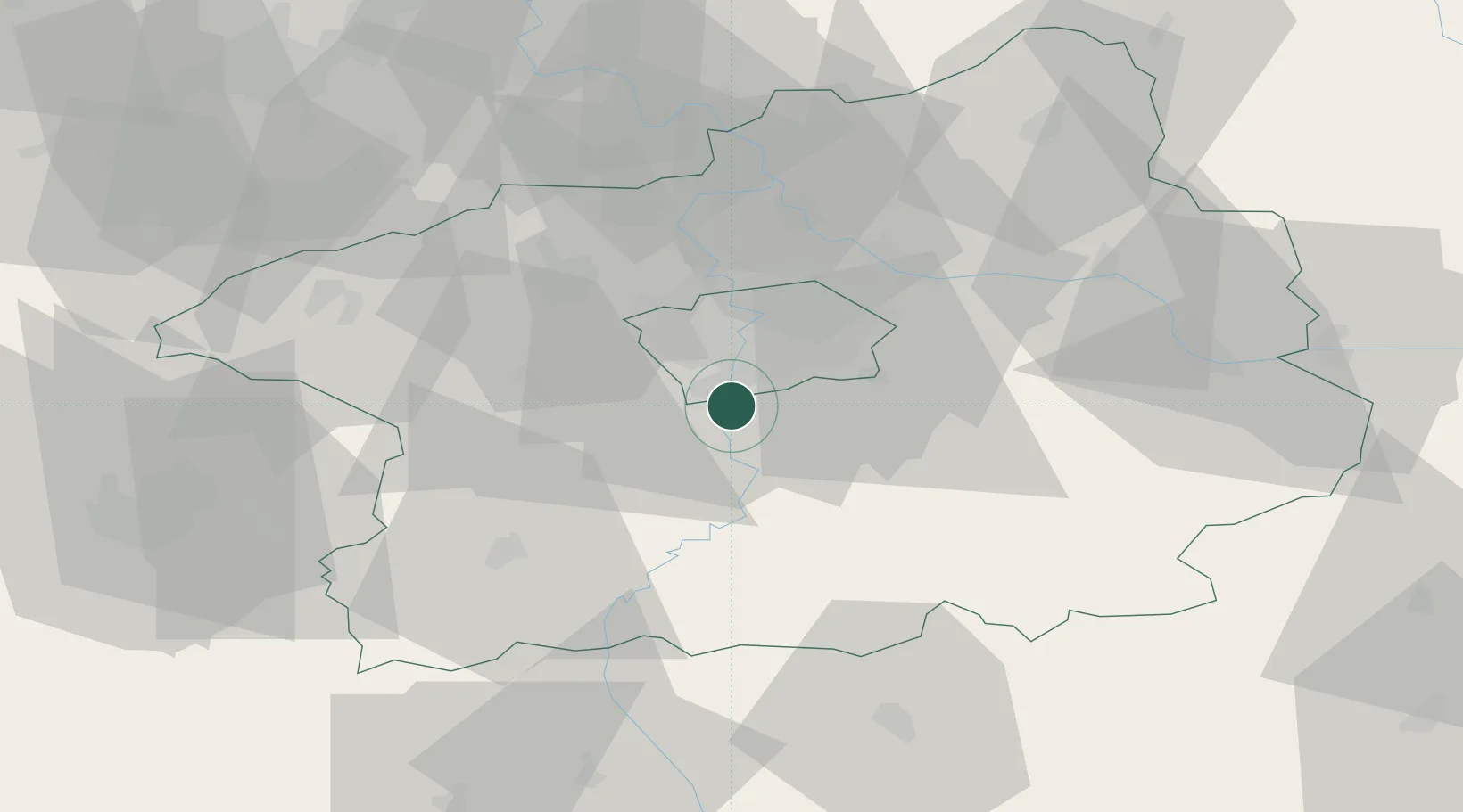
Vrané nad Vltavou
49.9500°, 14.4000°
2,704
Population
2
Transport functions
Transport Functions
Rail
Road
Hub Profile
Place type
Populated place
Region
Central Bohemia
Population
2,704
Time zone
Europe/Prague
Elevation
232 m
Location
Nearby Logistics Neighbours
Cities
- 1Dolni Brezany5 km
- 2Davle8 km
- 3Jílové u Prahy9 km
- 4Dolní Jircany10 km
- 5Stechovice11 km
Ports
- 1Szczecin386 km
- 2Police402 km
- 3Swinoujscie441 km
- 4Monfalcone468 km
- 5Nogaro475 km
Airports
- 1Václav Havel Airport Prague20 km
- 2Prague–Kbely Air Base22 km
- 3Vodochody Airport30 km
- 4Kostomlaty Airstrip47 km
- 5Čáslav Air Base70 km
DatabookThe Record of Consolidated Knowledge
Czechia beyond logistics?