Transport Functions
Multimodal
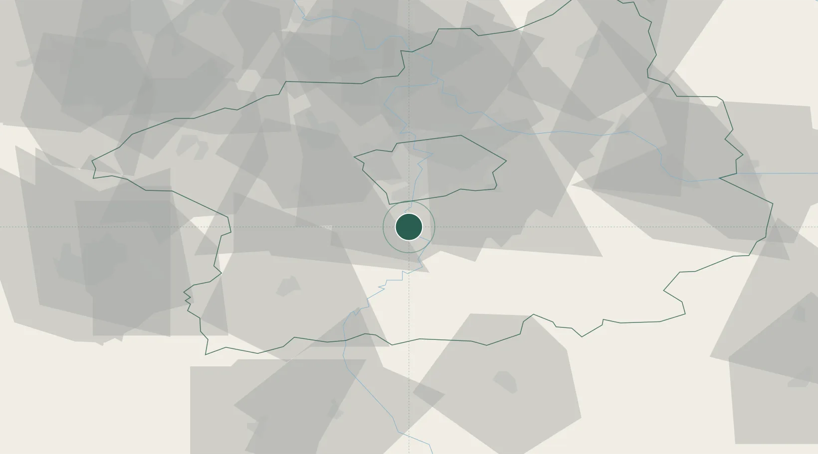
Hub Profile
Place type
Populated place
Region
Central Bohemia
Population
1,765
Time zone
Europe/Prague
Elevation
211 m
Location
Nearby Logistics Neighbours
Cities
- 1Stechovice4 km
- 2Vrané nad Vltavou8 km
- 3Jílové u Prahy9 km
- 4Dolni Brezany11 km
- 5Dolní Jircany13 km
Ports
- 1Szczecin393 km
- 2Police410 km
- 3Swinoujscie449 km
- 4Monfalcone460 km
- 5Nogaro468 km
Airports
- 1Václav Havel Airport Prague26 km
- 2Prague–Kbely Air Base29 km
- 3Vodochody Airport37 km
- 4Kostomlaty Airstrip53 km
- 5Čáslav Air Base72 km
DatabookThe Record of Consolidated Knowledge
Czechia beyond logistics?