UN/LOCODE hub · Czechia
CZDNO
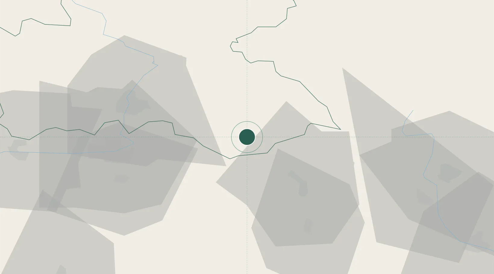
Doudleby nad Orlicí
50.1000°, 16.2500°
1,926
Population
1
Transport functions
Transport Functions
Multimodal
Hub Profile
Place type
Populated place
Region
Královéhradecký kraj
Population
1,926
Time zone
Europe/Prague
Elevation
284 m
Location
Nearby Logistics Neighbours
Cities
- 1Vamberk2 km
- 2Chocen11 km
- 3Kvasiny13 km
- 4Pisecna u Jeseniku15 km
- 5Rokytnice v Orlickych Horach17 km
Ports
- 1Szczecin387 km
- 2Police402 km
- 3Swinoujscie446 km
- 4Kolobrzeg460 km
- 5Wolgast470 km
Airports
- 1Pardubice Airport38 km
- 2Čáslav Air Base65 km
- 3Kostomlaty Airstrip95 km
- 4Náměšť Air Base104 km
- 5Brno-Tuřany Airport110 km
Trade Zones
DatabookThe Record of Consolidated Knowledge
Czechia beyond logistics?