Transport Functions
Rail
Road
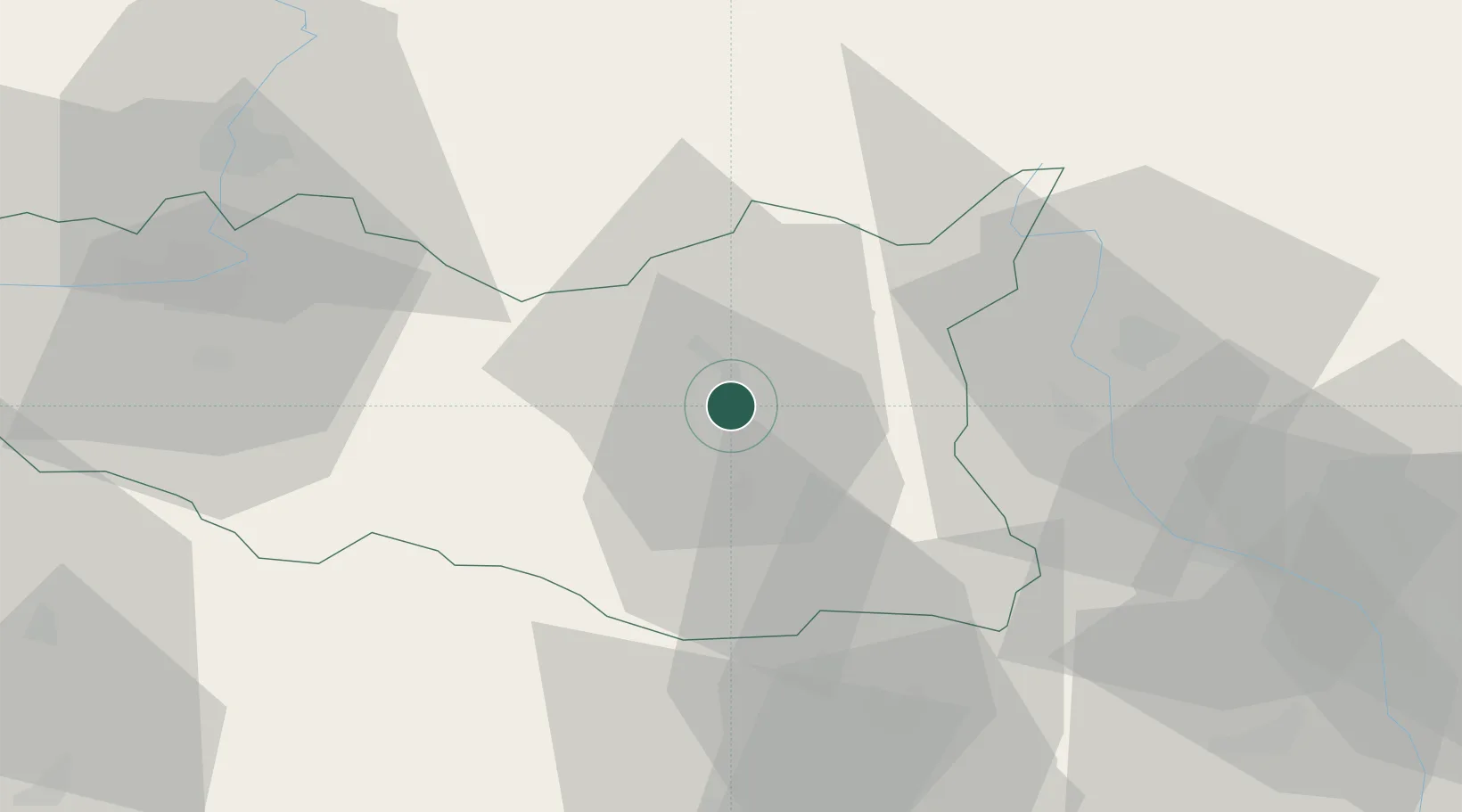
Hub Profile
Place type
Populated place
Region
Pardubický
Population
16,655
Time zone
Europe/Prague
Elevation
370 m
Logistics facilities
3
Location
Nearby Logistics Neighbours
Cities
- 1Lanskroun12 km
- 2Vermerovice15 km
- 3Cerekvice nad Loucnou16 km
- 4Kuncina17 km
- 5Pisecna u Jeseniku18 km
Ports
- 1Szczecin413 km
- 2Police429 km
- 3Swinoujscie472 km
- 4Monfalcone505 km
- 5Trieste513 km
Airports
- 1Pardubice Airport53 km
- 2Čáslav Air Base77 km
- 3Náměšť Air Base84 km
- 4Brno-Tuřany Airport84 km
- 5Přerov Air Base86 km
Trade Zones
DatabookThe Record of Consolidated Knowledge
Czechia beyond logistics?