Transport Functions
Multimodal
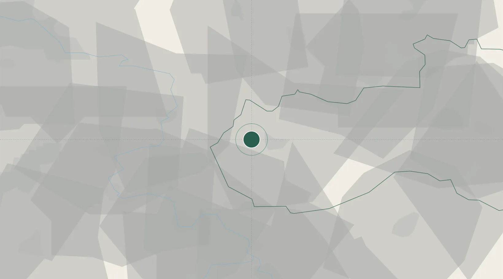
Hub Profile
Place type
Populated place
Region
Liberecký kraj
Population
856
Time zone
Europe/Prague
Elevation
241 m
Location
Nearby Logistics Neighbours
Cities
- 1Ceská Lípa6 km
- 2Kamenický Senov7 km
- 3Frantiskov nad Ploucnici10 km
- 4Novy Bor11 km
- 5Benesov nad Ploucnici11 km
Ports
- 1Szczecin302 km
- 2Police319 km
- 3Swinoujscie358 km
- 4Wolgast375 km
- 5Kolobrzeg398 km
Airports
- 1Vodochody Airport54 km
- 2Kostomlaty Airstrip64 km
- 3Prague–Kbely Air Base65 km
- 4Václav Havel Airport Prague68 km
- 5Dresden Airport69 km
Trade Zones
DatabookThe Record of Consolidated Knowledge
Czechia beyond logistics?