UN/LOCODE hub · Czechia
CZKSV
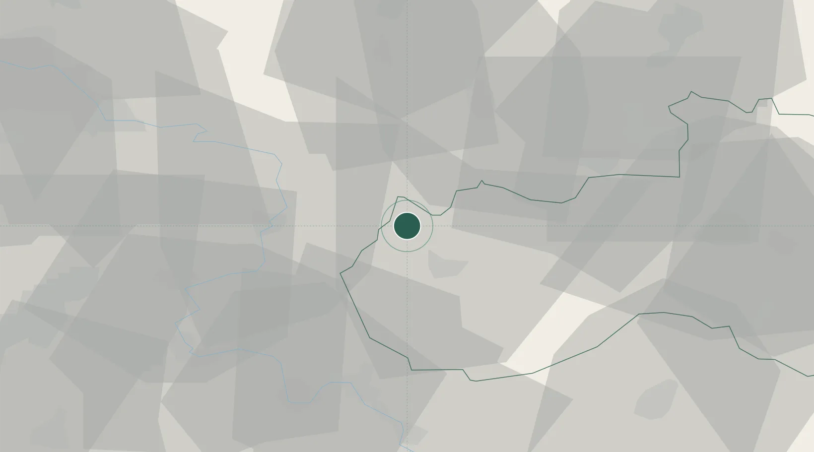
Kamenický Senov
50.7667°, 14.4667°
3,982
Population
2
Transport functions
Transport Functions
Rail
Road
Hub Profile
Place type
Populated place
Region
Liberecký kraj
Population
3,982
Time zone
Europe/Prague
Elevation
528 m
Location
Nearby Logistics Neighbours
Cities
- 1Struznice7 km
- 2Novy Bor8 km
- 3Frantiskov nad Ploucnici11 km
- 4Ceská Lípa11 km
- 5Chribská11 km
Ports
- 1Szczecin295 km
- 2Police311 km
- 3Swinoujscie351 km
- 4Wolgast368 km
- 5Kolobrzeg391 km
Airports
- 1Vodochody Airport61 km
- 2Dresden Airport64 km
- 3Kostomlaty Airstrip70 km
- 4Prague–Kbely Air Base72 km
- 5Rothenburg/Görlitz Airfield74 km
Trade Zones
DatabookThe Record of Consolidated Knowledge
Czechia beyond logistics?