Transport Functions
Multimodal
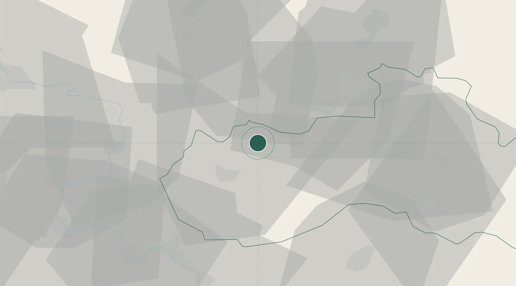
Hub Profile
Place type
Populated place
Region
Liberecký kraj
Population
4,534
Time zone
Europe/Prague
Elevation
357 m
Location
Nearby Logistics Neighbours
Cities
- 1Novy Bor4 km
- 2Kamenický Senov12 km
- 3Ceská Lípa13 km
- 4Grosschönau13 km
- 5Chribská14 km
Ports
- 1Szczecin293 km
- 2Police310 km
- 3Swinoujscie349 km
- 4Wolgast368 km
- 5Kolobrzeg387 km
Airports
- 1Vodochody Airport65 km
- 2Kostomlaty Airstrip67 km
- 3Rothenburg/Görlitz Airfield68 km
- 4Dresden Airport72 km
- 5Prague–Kbely Air Base74 km
Trade Zones
DatabookThe Record of Consolidated Knowledge
Czechia beyond logistics?