Transport Functions
Rail
Road
Hub Profile
Place type
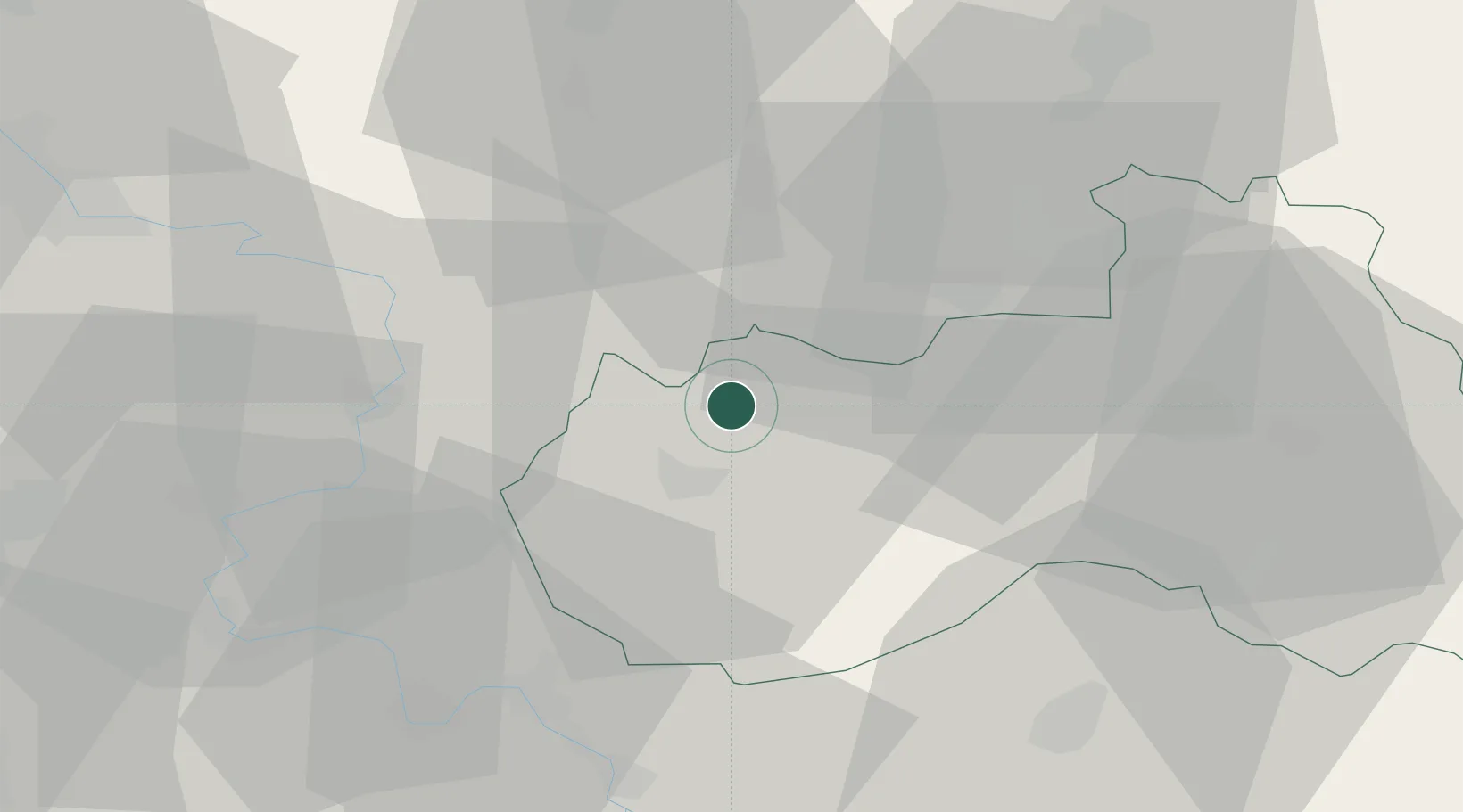
Populated place
Region
Liberecký kraj
Population
11,318
Time zone
Europe/Prague
Elevation
365 m
Location
Nearby Logistics Neighbours
Cities
- 1Cvikov4 km
- 2Kamenický Senov8 km
- 3Ceská Lípa10 km
- 4Struznice11 km
- 5Chribská13 km
Ports
- 1Szczecin295 km
- 2Police311 km
- 3Swinoujscie351 km
- 4Wolgast369 km
- 5Kolobrzeg389 km
Airports
- 1Vodochody Airport63 km
- 2Kostomlaty Airstrip67 km
- 3Dresden Airport70 km
- 4Rothenburg/Görlitz Airfield71 km
- 5Prague–Kbely Air Base72 km
Trade Zones
DatabookThe Record of Consolidated Knowledge
Czechia beyond logistics?