Transport Functions
Port
Rail
Road
Hub Profile
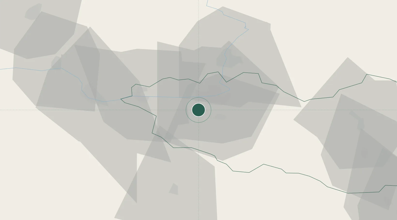
Place type
Populated place
Region
Pardubický
Population
412
Time zone
Europe/Prague
Elevation
247 m
Location
Nearby Logistics Neighbours
Cities
- 1Staré Hradiste11 km
- 2Prelouc11 km
- 3Hostovice12 km
- 4Dasice16 km
- 5Kladruby Nad Labem17 km
Ports
- 1Szczecin390 km
- 2Police406 km
- 3Swinoujscie448 km
- 4Monfalcone494 km
- 5Trieste503 km
Airports
- 1Pardubice Airport5 km
- 2Čáslav Air Base23 km
- 3Kostomlaty Airstrip61 km
- 4Prague–Kbely Air Base84 km
- 5Náměšť Air Base96 km
Trade Zones
DatabookThe Record of Consolidated Knowledge
Czechia beyond logistics?