Transport Functions
Rail
Road
Hub Profile
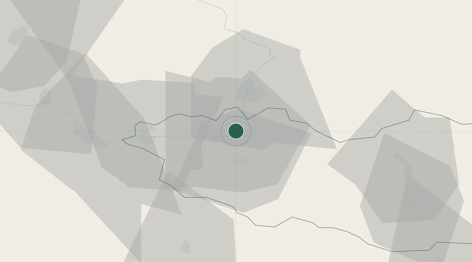
Place type
Populated place
Region
Pardubický
Population
1,219
Time zone
Europe/Prague
Elevation
219 m
Location
Nearby Logistics Neighbours
Ports
- 1Szczecin382 km
- 2Police398 km
- 3Swinoujscie441 km
- 4Kolobrzeg462 km
- 5Wolgast464 km
Airports
- 1Pardubice Airport7 km
- 2Čáslav Air Base32 km
- 3Kostomlaty Airstrip63 km
- 4Prague–Kbely Air Base89 km
- 5Vodochody Airport100 km
Trade Zones
DatabookThe Record of Consolidated Knowledge
Czechia beyond logistics?