UN/LOCODE hub · Czechia
CZKNM
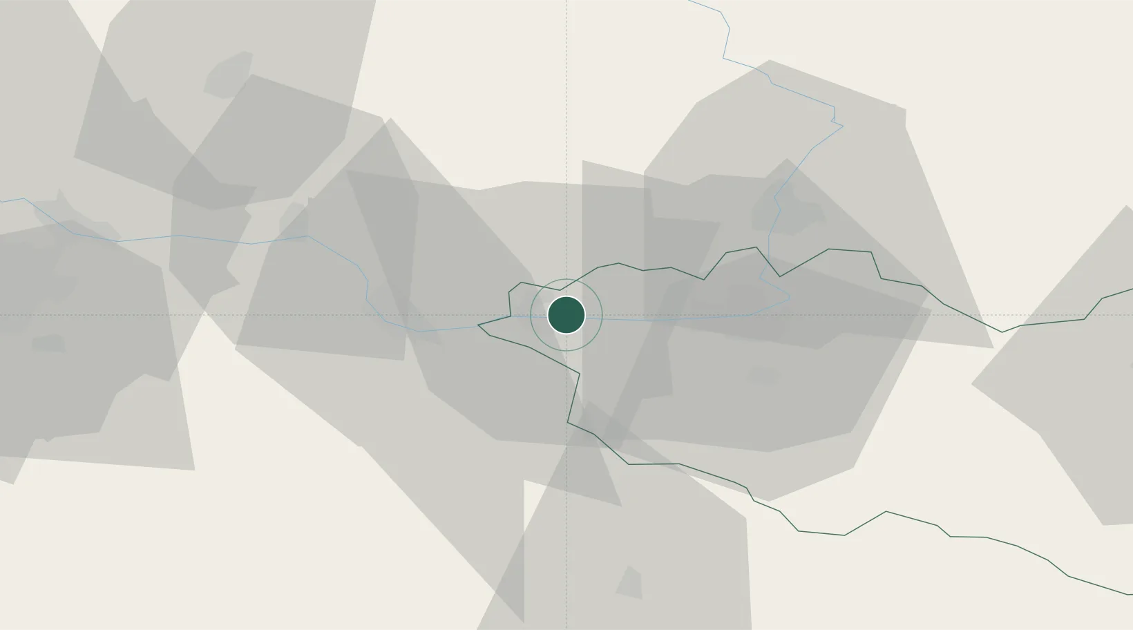
Kladruby Nad Labem
50.0500°, 15.4833°
623
Population
1
Transport functions
Transport Functions
Multimodal
Hub Profile
Place type
Populated place
Region
Pardubický
Population
623
Time zone
Europe/Prague
Elevation
210 m
Location
Nearby Logistics Neighbours
Cities
- 1Trnavka2 km
- 2Prelouc6 km
- 3Horusice7 km
- 4Týnec nad Labem10 km
- 5Chlumec nad Cidlinou11 km
Ports
- 1Szczecin380 km
- 2Police396 km
- 3Swinoujscie438 km
- 4Wolgast460 km
- 5Kolobrzeg463 km
Airports
- 1Čáslav Air Base14 km
- 2Pardubice Airport19 km
- 3Kostomlaty Airstrip44 km
- 4Prague–Kbely Air Base68 km
- 5Vodochody Airport80 km
Trade Zones
DatabookThe Record of Consolidated Knowledge
Czechia beyond logistics?