Transport Functions
Multimodal
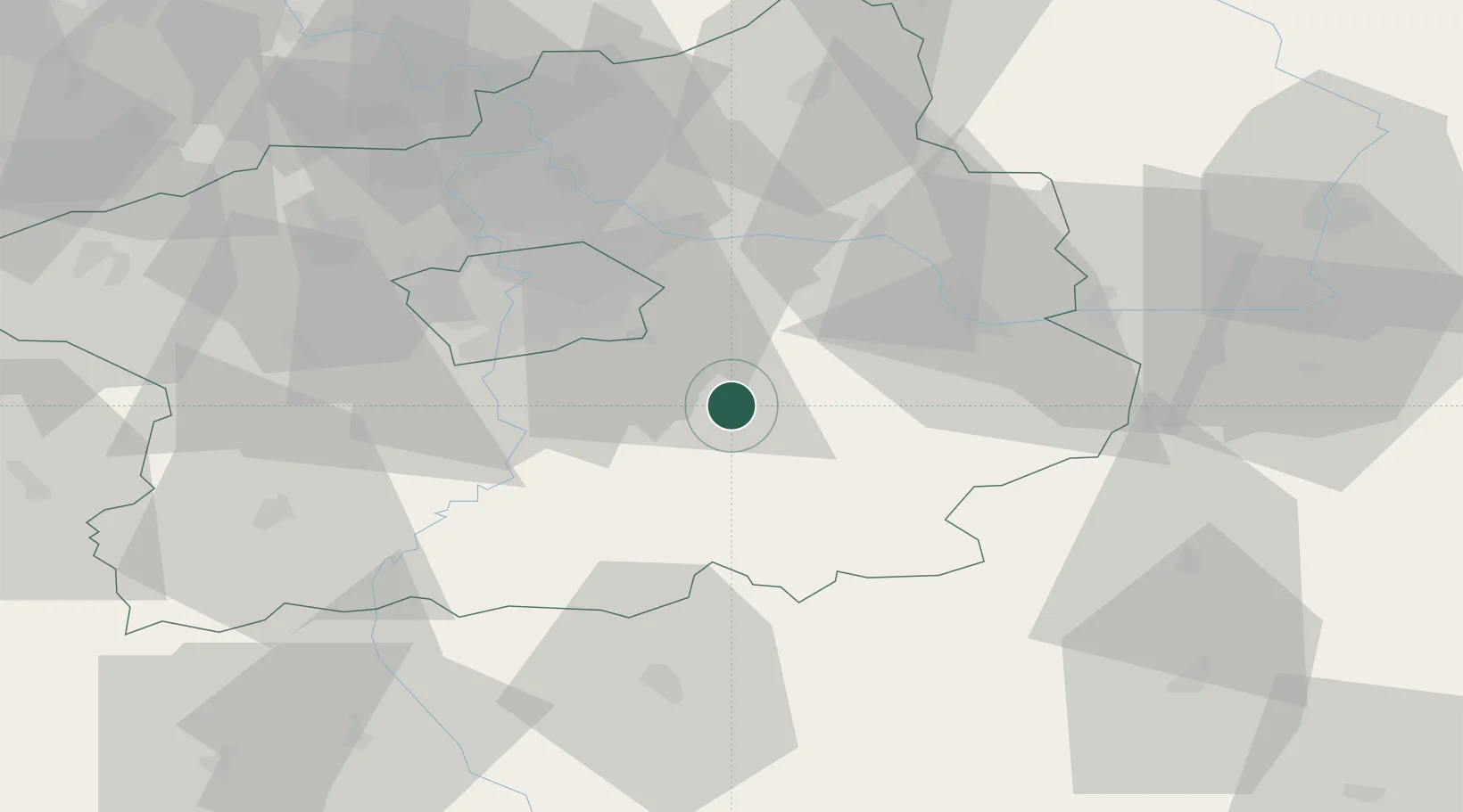
Hub Profile
Place type
Populated place
Region
Central Bohemia
Population
986
Time zone
Europe/Prague
Elevation
290 m
Location
Nearby Logistics Neighbours
Cities
- 1Stribrna Skalice4 km
- 2Sázava7 km
- 3Divisov13 km
- 4Kostelec nad Cernými Lesy14 km
- 5Zdánice (Kolín)14 km
Ports
- 1Szczecin393 km
- 2Police410 km
- 3Swinoujscie450 km
- 4Monfalcone465 km
- 5Nogaro475 km
Airports
- 1Prague–Kbely Air Base32 km
- 2Kostomlaty Airstrip37 km
- 3Čáslav Air Base42 km
- 4Václav Havel Airport Prague46 km
- 5Vodochody Airport47 km
Trade Zones
DatabookThe Record of Consolidated Knowledge
Czechia beyond logistics?