Transport Functions
Port
Rail
Road
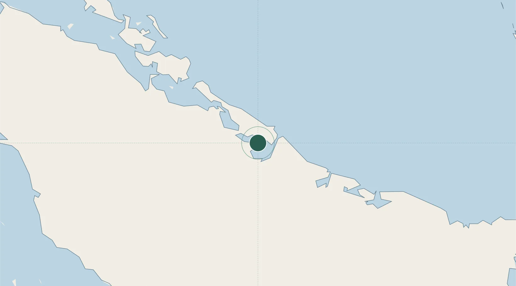
Location
Nearby Logistics Neighbours
Cities
- 1Puerto Tarafa2 km
- 2Puerto de Pastelillo3 km
- 3Nuevitas4 km
- 4Puerto Manatí47 km
- 5Camagüey74 km
Ports
- 1Nuevitas Bay4 km
- 2Manati49 km
- 3Puerto Padre79 km
- 4Guayabal104 km
- 5Santa Cruz del Sur124 km
Airports
Trade Zones
- 1Cazoumar Free Zone353 km
- 2Montego Bay Free Zone353 km
- 3Spanish Town Free Zone397 km
- 4Caymanas Special Economic Zone399 km
- 558 HWT Tech Park399 km
DatabookThe Record of Consolidated Knowledge
Cuba beyond logistics?