Transport Functions
Port
Hub Profile
Place type
Provincial seat
Region
Artemisa
Population
19,834
Time zone
America/Havana
Elevation
21 m
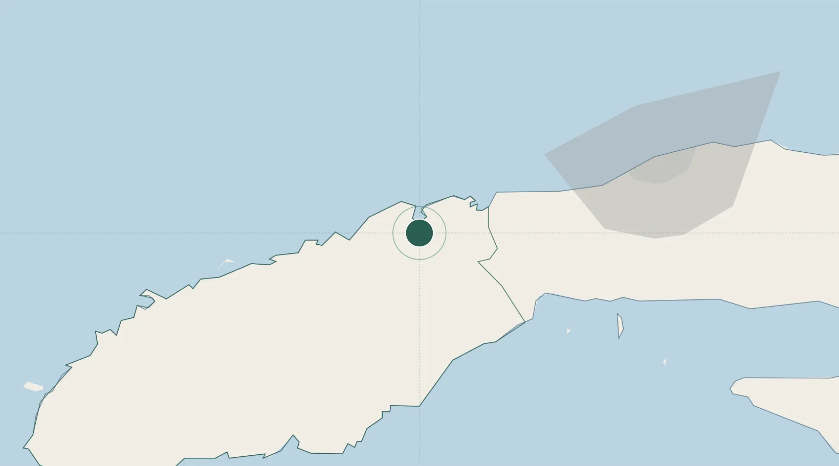
Location
Nearby Logistics Neighbours
Cities
- 1Cabañas27 km
- 2Mariel43 km
- 3La Habana88 km
- 4Cárdenas202 km
- 5Summerland Key262 km
Ports
- 1Cabanas23 km
- 2Mariel44 km
- 3Bahai De La Habana86 km
- 4Santa Lucia86 km
- 5Nueva Gerona116 km
Airports
- 1Playa Baracoa Airport62 km
- 2José Martí International Airport78 km
- 3Rafael Cabrera Airport125 km
- 4San Nicolás de Bari Airport129 km
- 5San Julián Air Base135 km
Trade Zones
- 1Mariel Special Development Zone41 km
- 2FTZ No. 281 Miami-Dade County385 km
- 3FTZ No. 032 Miami433 km
- 4FTZ No. 213 Fort Myers433 km
- 5Cayman Enterprise City440 km
DatabookThe Record of Consolidated Knowledge
Cuba beyond logistics?