Medium airport · Cuba

Playa Baracoa AirportMUPB
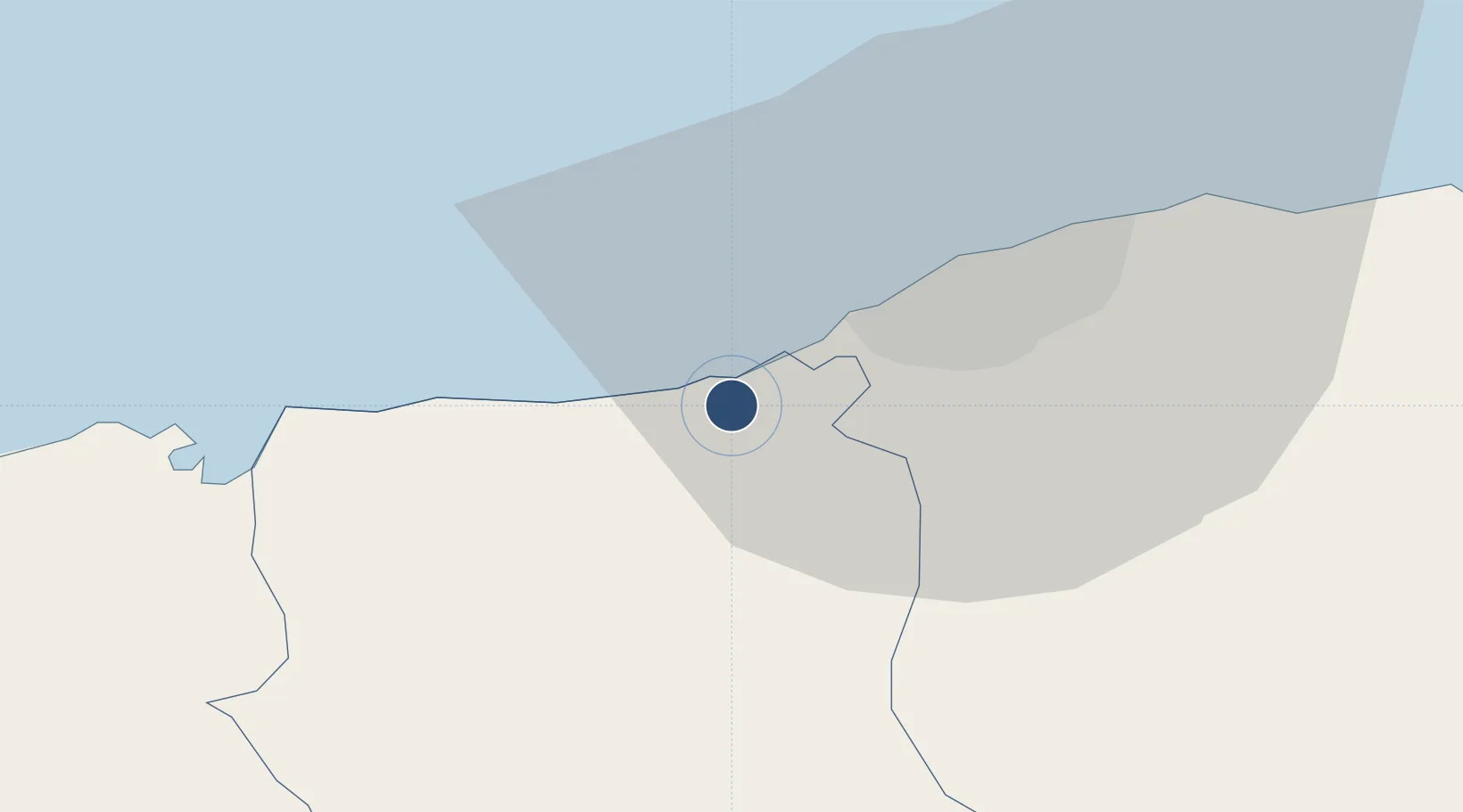
23.0328°, -82.5794°
7,563 ft
Longest runway
1
Runways
102 ft
Elevation

Runway & Layout

Playa Baracoa Airport runway & taxiway layout
Runway & taxiway layout — OpenStreetMap (ODbL) / OurAirports

Radio Frequencies

TWR
128.8 MHz
OurAirports

Navaids

UPB VOR Playa Baracoa 109.20 MHz
UPB NDB Playa Baracoa 250 kHz
OurAirports

Runways · 1

RunwayDimensions SurfaceTrue headingLit
02/20 7,563 × 148ft Asphalt 022°
OurAirports

Airport Specifications

IATA code
UPB
OurAirports
ICAO code
MUPB
OurAirports
Airport class
Medium airport
OurAirports
Scheduled service
No
OurAirports
Runway surface
Asphalt
OurAirports
Served city
Havana
OurAirports

Location

Location of MUPB
Natural Earth 10m (public domain) · Artemisa · MUPB · 23.03, -82.58GoogleOSMYandex

Nearby Logistics Neighbours

Airports
  1. 1José Martí International Airport18 km
  2. 2San Nicolás de Bari Airport74 km
  3. 3Juan Gualberto Gomez International Airport117 km
  4. 4Kawama Airport131 km
  5. 5Rafael Cabrera Airport135 km
Nearest neighbours — logibook spatial index (haversine) over the source coordinates
Cities
  1. 1Mariel19 km
  2. 2La Habana26 km
  3. 3Cabañas35 km
  4. 4Bahía Honda62 km
  5. 5Cárdenas141 km
Nearest neighbours — logibook spatial index (haversine) over the source coordinates
Ports
  1. 1Mariel18 km
  2. 2Bahai De La Habana25 km
  3. 3Cabanas40 km
  4. 4Bahia Honda61 km
  5. 5Matanzas105 km
Nearest neighbours — logibook spatial index (haversine) over the source coordinates
Trade Zones
  1. 1Mariel Special Development Zone22 km
  2. 2FTZ No. 281 Miami-Dade County337 km
  3. 3FTZ No. 032 Miami383 km
  4. 4FTZ No. 180 Miami (Wynwood)391 km
  5. 5FTZ No. 213 Fort Myers405 km
Nearest neighbours — logibook spatial index (haversine) over the source coordinates
DatabookThe Record of Consolidated Knowledge
Cuba beyond logistics?
Browse databook

All Sources

AirportsOurAirports
Public domain
Portsthe NGA World Port Index
Public domain (US gov)
LocationsUN/LOCODE
UN/LOCODE — free
Trade Zonesthe World Bank SEZ database
CC BY 4.0
Trade ZonesOpen Zone Map
CC BY
InfrastructureOpenStreetMap
ODbL 1.0
← Cuba airports