Runway & Layout

Airport Specifications
IATA code
SNJ
ICAO code
MUSJ
Airport class
Medium airport
Scheduled service
No
Served city
Sandino
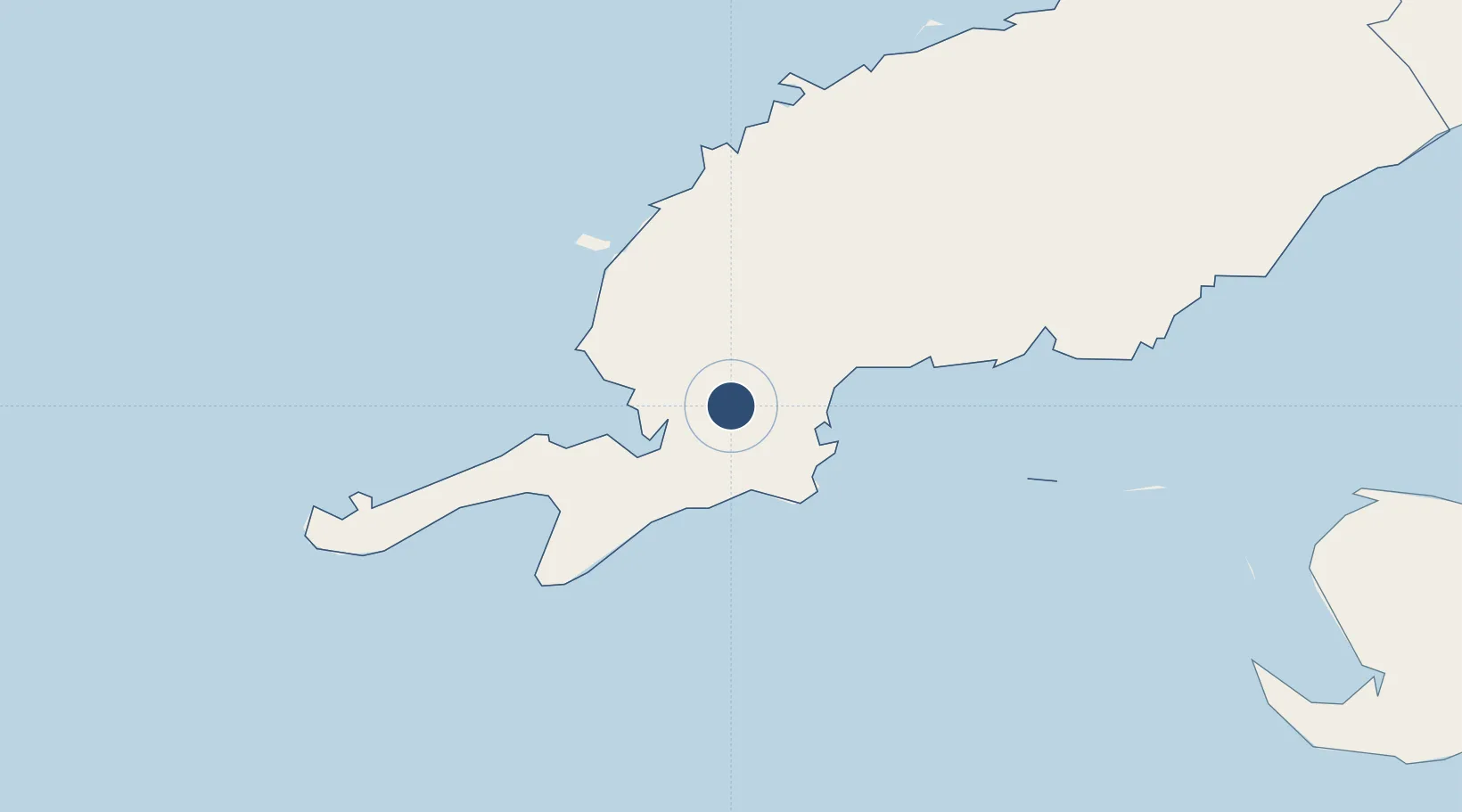
Location
Nearby Logistics Neighbours
Airports
- 1Siguanea Airport134 km
- 2Rafael Cabrera Airport145 km
- 3Playa Baracoa Airport192 km
- 4José Martí International Airport205 km
- 5San Nicolás de Bari Airport241 km
Cities
- 1Bahía Honda135 km
- 2Cabañas161 km
- 3Mariel175 km
- 4La Habana218 km
- 5Puerto Morelos314 km
Ports
- 1Santa Lucia66 km
- 2Bahia Honda140 km
- 3Nueva Gerona141 km
- 4Cabanas158 km
- 5Mariel175 km
Trade Zones
- 1Mariel Special Development Zone173 km
- 2Cayman Enterprise City424 km
- 3FTZ No. 281 Miami-Dade County518 km
- 4FTZ No. 213 Fort Myers552 km
- 5FTZ No. 032 Miami567 km
DatabookThe Record of Consolidated Knowledge
Cuba beyond logistics?