Medium airport · Cuba
Rafael Cabrera AirportMUNG
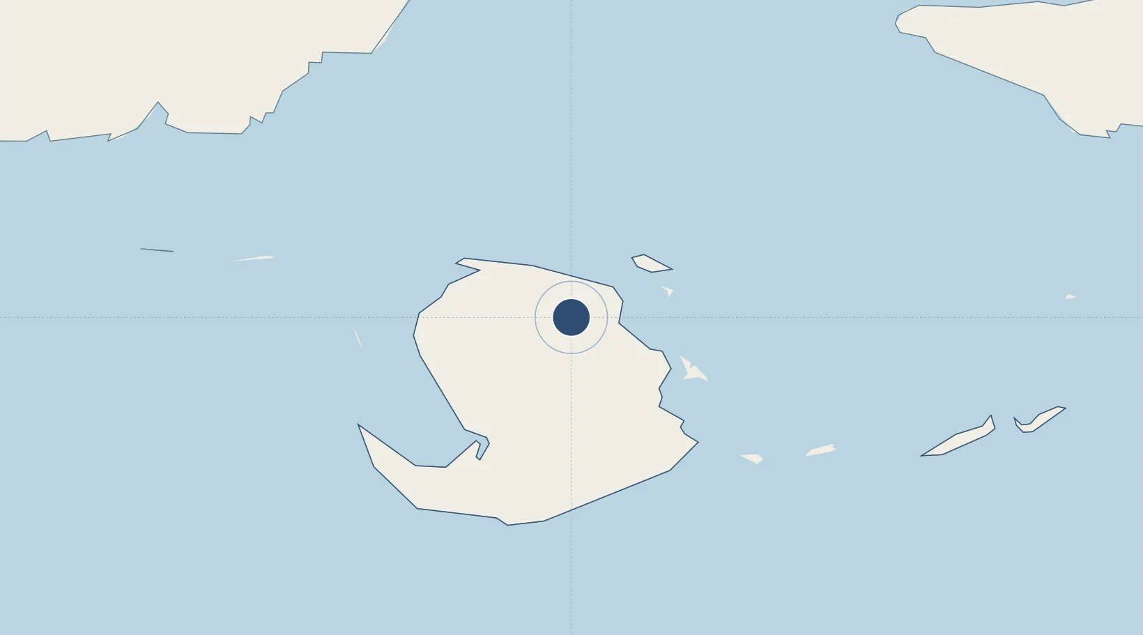
21.8347°, -82.7838°
8,202 ft
Longest runway
2
Runways
79 ft
Elevation
Runway & Layout

Radio Frequencies
TWR
118.3 MHz
GERONA TWR
A/G
340.7 MHz
GERONA RDO
Navaids
UNG NDB Gerona 412 kHz
Runways · 2
| Runway | Dimensions | Surface | True heading | Lit |
|---|---|---|---|---|
| 05/23 | 8,202 × 148ft | Asphalt | 048° | ✓ |
| 17/35 | 5,325 × 98ft | Asphalt | 172° | — |
Airport Specifications
IATA code
GER
ICAO code
MUNG
Airport class
Medium airport
Scheduled service
Yes
Runway surface
Asphalt
Served city
Nueva Gerona
Location
Nearby Logistics Neighbours
Airports
- 1Siguanea Airport28 km
- 2Vilo Acuña International Airport130 km
- 3José Martí International Airport134 km
- 4Playa Baracoa Airport135 km
- 5San Nicolás de Bari Airport136 km
Cities
- 1Bahía Honda125 km
- 2Cabañas129 km
- 3Mariel130 km
- 4La Habana150 km
- 5Cárdenas210 km
Ports
- 1Nueva Gerona9 km
- 2Mariel128 km
- 3Cabanas131 km
- 4Bahia Honda132 km
- 5Bahai De La Habana151 km
Trade Zones
- 1Mariel Special Development Zone130 km
- 2Cayman Enterprise City317 km
- 3FTZ No. 281 Miami-Dade County463 km
- 4FTZ No. 032 Miami507 km
- 5FTZ No. 180 Miami (Wynwood)513 km
DatabookThe Record of Consolidated Knowledge
Cuba beyond logistics?