Transport Functions
Port
Road
Multimodal
Hub Profile
Region
LAG
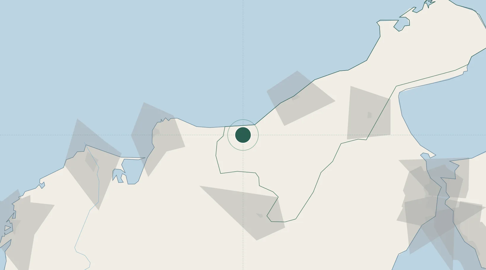
Location
Nearby Logistics Neighbours
Cities
- 1Santa Marta89 km
- 2Manaure123 km
- 3Barranquilla151 km
- 4Puerto Bolívar157 km
- 5Galapa165 km
Ports
- 1Santa Marta89 km
- 2Puerto Prodeco89 km
- 3Pozos Colorados93 km
- 4Barranquilla151 km
- 5Puerto Bolivar195 km
Airports
Trade Zones
- 1Brisa Free Trade Zone5 km
- 2Zona Franca Las Américas83 km
- 3Tayrona Free Trade Zone86 km
- 4Zona Franca de Santa Marta86 km
- 5Zona Franca Palermo150 km
DatabookThe Record of Consolidated Knowledge
Colombia beyond logistics?