Free Trade Zone · Colombia

Zona Franca de Santa Marta Active
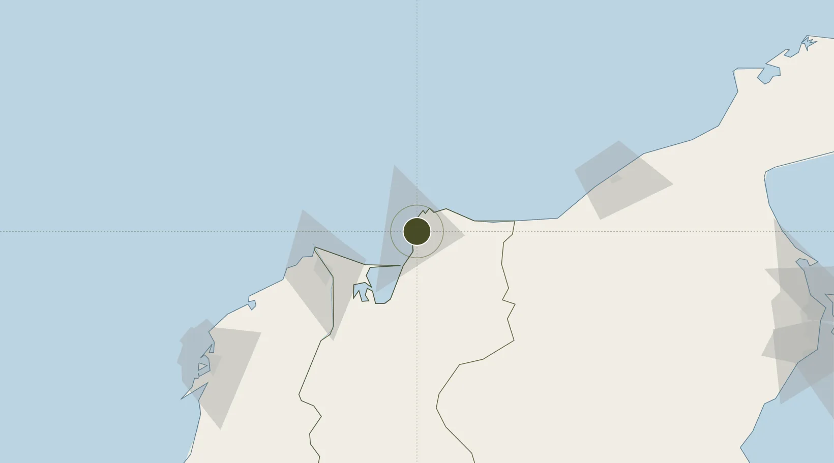
11.2092°, -74.1921°
148 ha
Zone area
5.3 km
Nearest port
10.8 km
Nearest airport

Gateway access

Nearest neighbours — logibook spatial index (haversine) over the source coordinates

Zone profile

Zone type
Free Trade Zone
Open Zone Map
Region
Magdalena
Open Zone Map
Status
Active
Open Zone Map
Management
Public-Private Partnership
Open Zone Map
Operator
Colombian Ministry of Economic Development
Open Zone Map
Legal framework
Law 1004/2005 Decree 383 and 4051
Open Zone Map

Location

Location of ozm-1671
Natural Earth 10m (public domain) · Magdalena · ozm-1671 · 11.21, -74.19GoogleOSMYandex

Nearby Logistics Neighbours

Ports
  1. 1Santa Marta5 km
  2. 2Puerto Prodeco7 km
  3. 3Pozos Colorados9 km
  4. 4Barranquilla68 km
  5. 5Cartagena171 km
Nearest neighbours — logibook spatial index (haversine) over the source coordinates
Airports
  1. 1Simón Bolívar International Airport11 km
  2. 2Ernesto Cortissoz International Airport73 km
  3. 3Alfonso López Pumarejo Airport134 km
  4. 4Almirante Padilla Airport142 km
  5. 5Rafael Nuñez International Airport168 km
Nearest neighbours — logibook spatial index (haversine) over the source coordinates
Cities
  1. 1Santa Marta5 km
  2. 2Barranquilla68 km
  3. 3Galapa83 km
  4. 4Puerto Bolívar83 km
  5. 5Puerto Colombia86 km
Nearest neighbours — logibook spatial index (haversine) over the source coordinates
Trade Zones
  1. 1Tayrona Free Trade Zone1 km
  2. 2Zona Franca Las Américas3 km
  3. 3Zona Franca Palermo67 km
  4. 4Barranquilla Free Trade Zone68 km
  5. 5Clinica Portoazul75 km
Nearest neighbours — logibook spatial index (haversine) over the source coordinates
DatabookThe Record of Consolidated Knowledge
Colombia beyond logistics?
Browse databook

All Sources

Trade ZonesOpen Zone Map
CC BY
Portsthe NGA World Port Index
Public domain (US gov)
AirportsOurAirports
Public domain
LocationsUN/LOCODE
UN/LOCODE — free
← Colombia trade zones