Transport Functions
Port
Road
Hub Profile
Place type
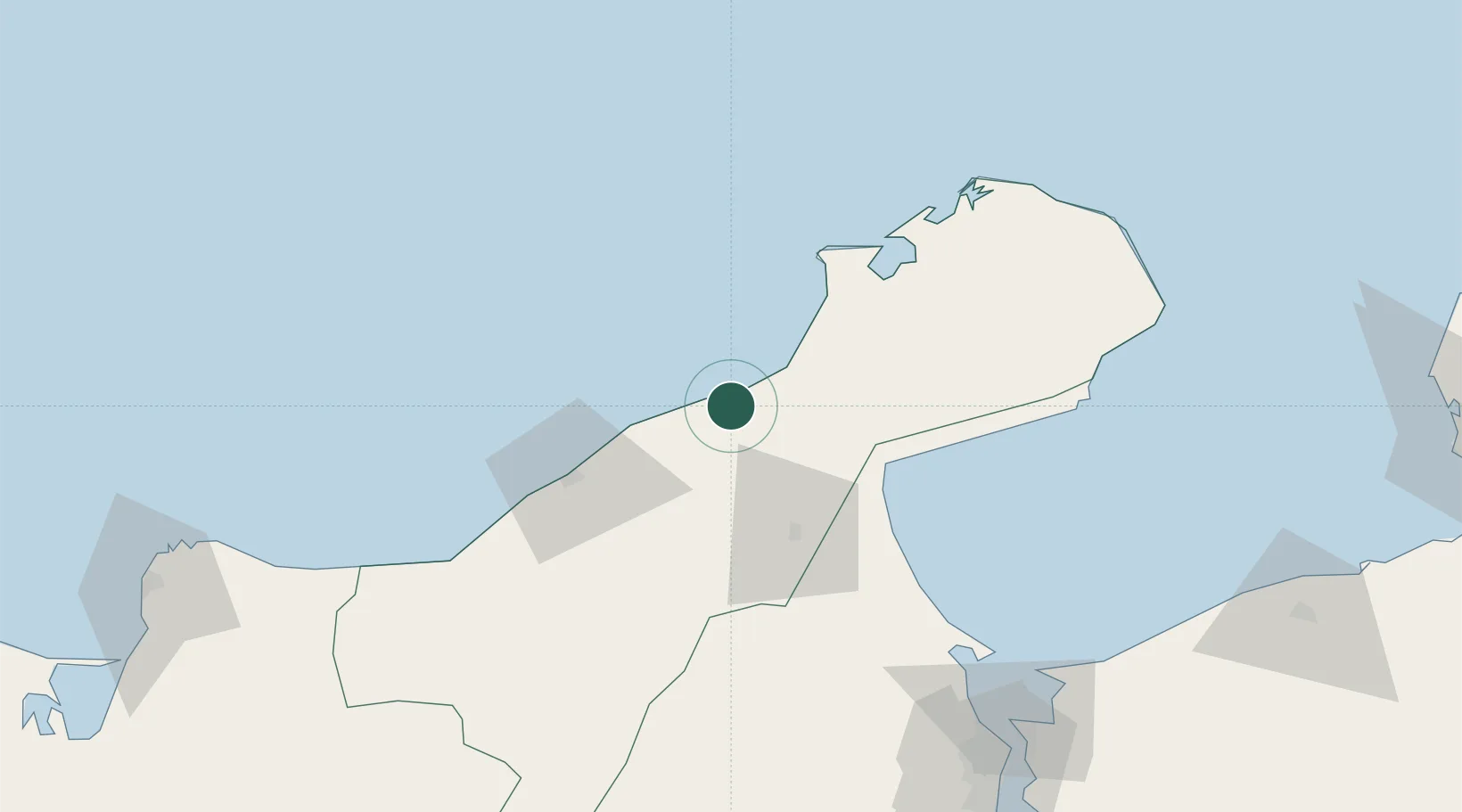
Provincial seat
Region
La Guajira Department
Population
9,703
Time zone
America/Bogota
Elevation
3 m
Location
Nearby Logistics Neighbours
Cities
- 1Mingueo123 km
- 2Maracaibo155 km
- 3Chiquinquirá172 km
- 4Santa Marta202 km
- 5Paraguana Refinery Center240 km
Ports
- 1Puerto Bolivar74 km
- 2Punta De Palmas143 km
- 3Puerto Miranda146 km
- 4El Tabiazo148 km
- 5Maracaibo155 km
Airports
Trade Zones
- 1Brisa Free Trade Zone119 km
- 2Free Zone ATUJA156 km
- 3Zona Franca Las Américas198 km
- 4Zona Franca de Santa Marta201 km
- 5Tayrona Free Trade Zone202 km
DatabookThe Record of Consolidated Knowledge
Colombia beyond logistics?