Seaport · Colombia
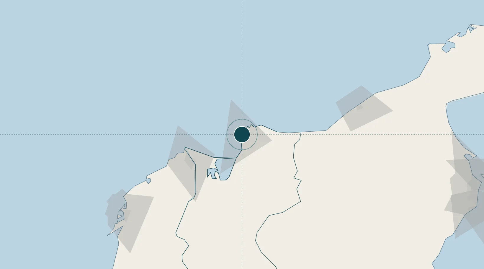
Santa MartaCOSMR
11.2500°, -74.2167°
23.2 m
Channel depth
1
Container terminals
119.8
Port liner connectivity
Channel & Berth Profile
Pilotage, Tugs & Services
Pilotage compulsoryYES
Pilotage availableYES
Tug assistanceYES
Potable waterYES
Diesel bunkersYES
MedicalYES
Garbage disposalNO
Facilities & Capabilities
ContainerYES
Ro-RoYES
Liquid bulkYES
Dry bulkYES
Oil terminal—
Break bulkYES
Dry dock—
RepairsNO
BunkeringYES
Rail linkYES
Dangerous cargo—
ISPS securityYES
Harbour Specifications
Harbour size
Small
Harbour type
Coastal (Natural)
Shelter
Good
Water body
Caribbean Sea; North Atlantic Ocean
Tidal range
1 m
Pilotage
Yes
Liner Connectivity
119.8
PLSCI
Port Liner Shipping Connectivity Index for Santa Marta, as published by UNCTAD for the latest available quarter. Higher values indicate stronger scheduled liner-shipping integration.
Shown relative to the highest per-port PLSCI in the dataset (1,657.9).
Location
Container Terminals · 1
SANTA MARTA INTERNATIONAL TERMINAL
SMIT SANTA MARTA INTERNATIONAL TERMINAL COMPANY S.A. (SMITCO)
Nearby Logistics Neighbours
Ports
- 1Puerto Prodeco11 km
- 2Pozos Colorados12 km
- 3Barranquilla68 km
- 4Cartagena171 km
- 5El Bosque172 km
Cities
- 1Barranquilla68 km
- 2Galapa83 km
- 3Puerto Bolívar85 km
- 4Puerto Colombia85 km
- 5Mingueo89 km
Airports
Trade Zones
DatabookThe Record of Consolidated Knowledge
Colombia beyond logistics?