Seaport · Colombia
Puerto BolivarCOPBO
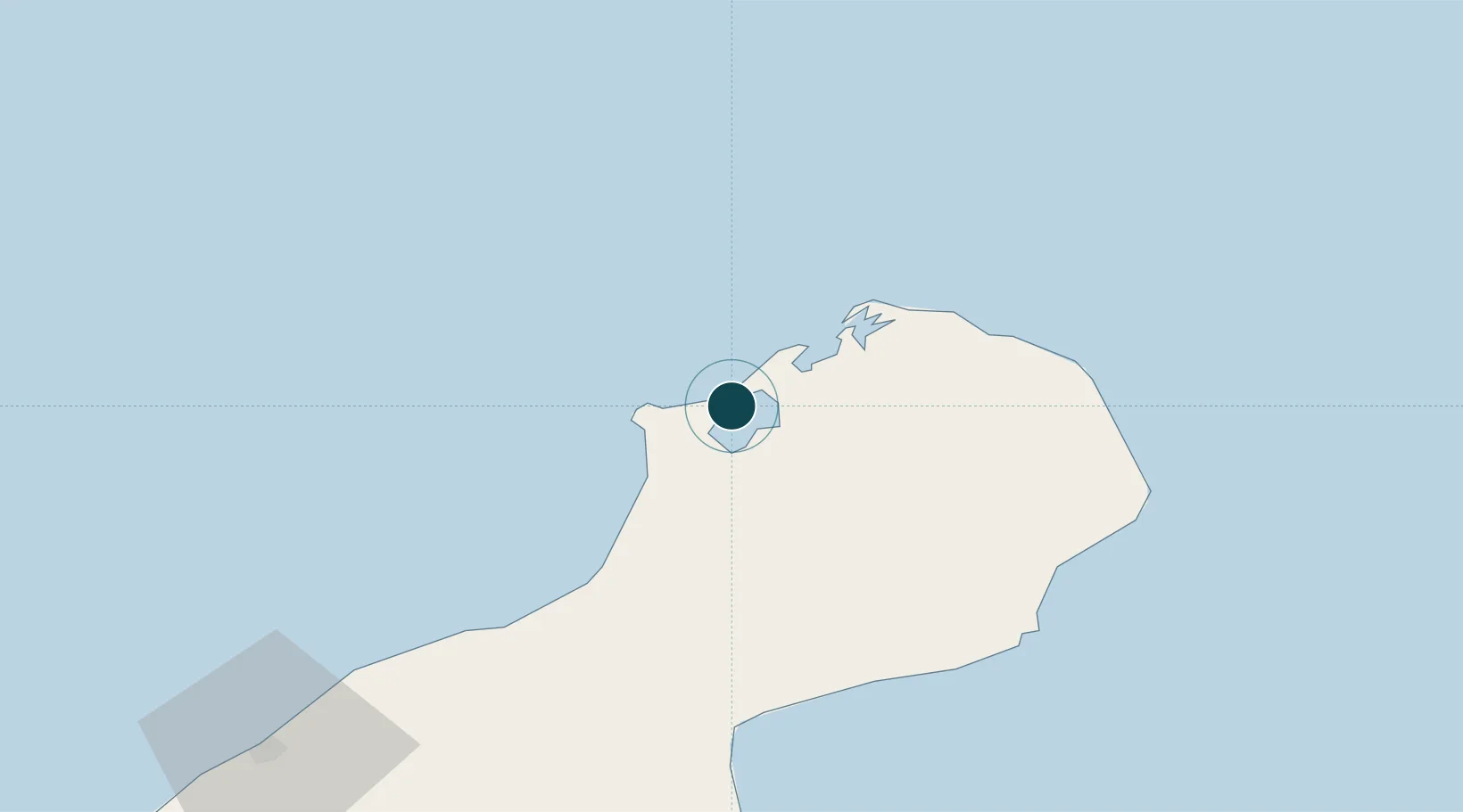
12.2500°, -71.9667°
9.4 m
Channel depth
15.5
Port liner connectivity
Channel & Berth Profile
Pilotage, Tugs & Services
Pilotage compulsoryYES
Pilotage availableYES
Tug assistanceYES
Potable waterNO
Diesel bunkersYES
MedicalYES
Garbage disposalYES
Facilities & Capabilities
ContainerYES
Ro-RoYES
Liquid bulkYES
Dry bulkYES
Oil terminal—
Break bulkYES
Dry dock—
Repairs—
BunkeringYES
Rail linkYES
Dangerous cargo—
ISPS securityYES
Harbour Specifications
Harbour size
Small
Harbour type
Coastal (Breakwater)
Shelter
Fair
Water body
Caribbean Sea; North Atlantic Ocean
Tidal range
1 m
Overhead limit
Yes
Pilotage
Yes
Liner Connectivity
15.5
PLSCI
Port Liner Shipping Connectivity Index for Puerto Bolivar, as published by UNCTAD for the latest available quarter. Higher values indicate stronger scheduled liner-shipping integration.
Shown relative to the highest per-port PLSCI in the dataset (1,657.9).
Location
Nearby Logistics Neighbours
Ports
- 1Punta De Palmas168 km
- 2Puerto Miranda171 km
- 3El Tabiazo172 km
- 4Maracaibo184 km
- 5Bajo Grande196 km
Cities
- 1Manaure74 km
- 2Maracaibo183 km
- 3Mingueo195 km
- 4Paraguana Refinery Center201 km
- 5Guaranao202 km
Airports
DatabookThe Record of Consolidated Knowledge
Colombia beyond logistics?